Catalog Archive
Auction 196, Lot 392

"A New Mapp of the Kingdome of England, Representing the Princedome of Wales, and Other Provinces, Cities, Market Towns, with the Roads from Town to Town...", Visscher, Nicolas

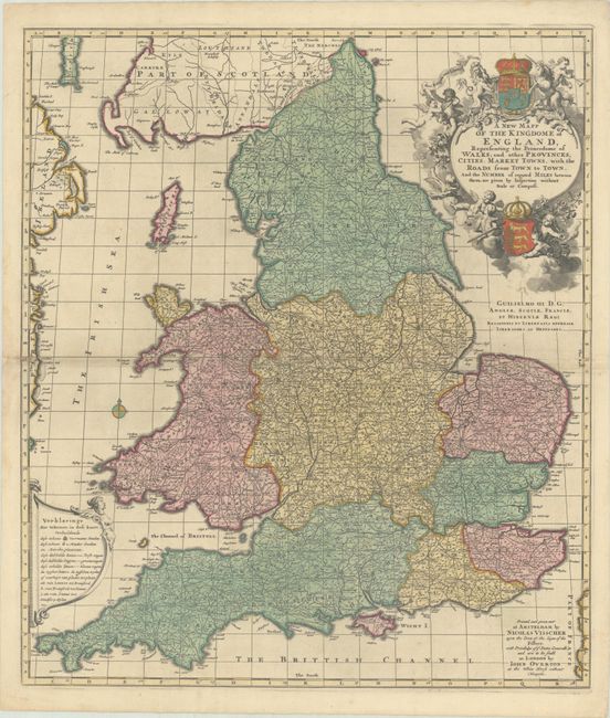
Subject: England & Wales

Period: 1694 (circa)

Publication:

Color: Hand Color

Size:
19.6 x 22.8 inches
49.8 x 57.9 cm
Download High Resolution Image
(or just click on image to launch the Zoom viewer)

This densely detailed map shows all of the roads, post roads, cities and market towns throughout England and Wales with distances noted between cities, and is based on John Adams's distance map from 1677. While the title and publisher's imprint are in English, the legend is in Dutch. The map was sold by Nicolas Visscher in Amsterdam and by John Overton in London. The superb title cartouche features putti and the royal arms. A dedication to William III appears below the title.

References: Shirley (BI to 1750) Visscher 2.

Condition: A

A sharp impression with full contemporary color, minor soiling along the centerfold, a small spot in the border at right, and a short centerfold separation at left.

Estimate: $375 - $450

Sold for: $225

Closed on 2/7/2024

Archived