Catalog Archive
Auction 196, Lot 383

"Cornubia. Sive Cornwallia", Blaeu, Johannes

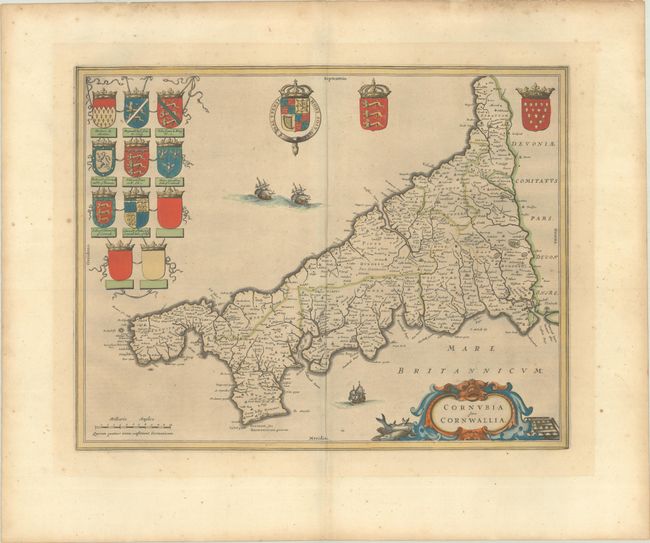
Subject: Southwestern England

Period: 1663 (circa)

Publication: Cinquieme Volume de la Geographie Blaviane

Color: Hand Color

Size:
19.6 x 15.3 inches
49.8 x 38.9 cm
Download High Resolution Image
(or just click on image to launch the Zoom viewer)

This attractive map of Cornwall in the far southwest corner of England extends from Plymouth to Land's End, and features good detail of political boundaries, towns, forests, and rivers. It is handsomely embellished with 11 coats of arms including the Royal Arms of Charles I as well as many local arms. The map is further embellished with three sailing ships and a title cartouche featuring local fish and metal. French text on verso published between 1663-1667.

References: Van der Krogt (Vol. II) #5255:2.

Condition: B+

Full contemporary color on watermarked paper with faint toning and minor foxing.

Estimate: $350 - $425

Sold for: $250

Closed on 2/7/2024

Archived