Catalog Archive
Auction 196, Lot 326

"Charte von den Inseln Trinidad, Tabago und Margaretha, dem Busen von Paria, und Einem Theile von Cumana", Weimar Geographisches Institut

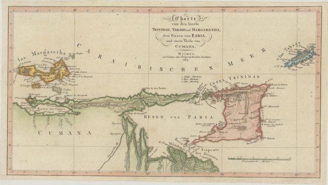
Subject: Trinidad & Tobago

Period: 1814 (dated)

Publication:

Color: Hand Color

Size:
16 x 8.8 inches
40.6 x 22.4 cm
Download High Resolution Image
(or just click on image to launch the Zoom viewer)

This interesting chart covers from the Margarita Island off the coast of Venezuela to Tobago. It includes part of the of the Venezuelan coastline and provides a surprising amount of detailed information. The map was published just prior to the Treaty of Paris in 1814, in which the British were ceded Tobago from the French. Since it was first sighted by Columbus in 1498, Tobago experienced a tumultuous history, changing hands over 30 times between the Dutch, English, Spanish, Swedish, and French.

References:

Condition: A

A nice impression with contemporary color, issued folding, now flat. There are a few faint spots.

Estimate: $275 - $350

Sold for: $200

Closed on 2/7/2024

Archived