Catalog Archive
Auction 196, Lot 310

"The West Indies, Exhibiting the English French Spanish Dutch & Danish Settlements with the Adjacent Parts of North & South America, from the Best Authorities", Middleton, Charles T.
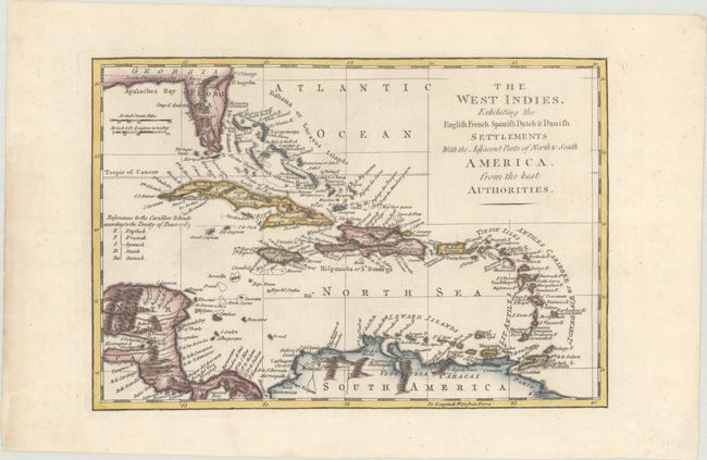
Subject: Caribbean

Period: 1779 (circa)

Publication:

Color: Hand Color

Size:
11 x 7.5 inches
27.9 x 19.1 cm
Download High Resolution Image
(or just click on image to launch the Zoom viewer)

An uncommon map of the Caribbean showing the colonial holdings of Britain, France, Spain, the Netherlands, and Denmark after the Treaty of Paris in 1763, by way of a lettered key at left. Southern Florida is shown with large, interconnected waterways, effectively turning the region into an archipelago. The boundary between Florida and Georgia is labeled Limits Stipulated in 1738. The map was derived from the Thomas Jefferys' 1760 map of the same title. According to McCorkle, this either appeared in Middleton's A New and Complete System of Geography... or an edition of Thomas Bankes's New, Royal, and Authentic System of Universal Geography (1787-92), an intended successor to Middleton's work that reused the same plate.

References: McCorkle (18th C. Geography Books) #280-12.

Condition: A

A crisp impression with minor marginal toning.

Estimate: $160 - $190

Sold for: $350

Closed on 2/7/2024

Archived