Catalog Archive
Auction 196, Lot 306

"Les Isles Antilles, et le Golfe du Mexique", Bonne, Rigobert

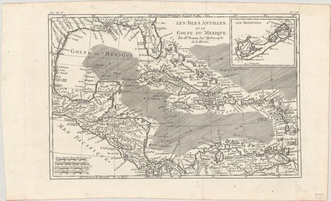
Subject: Gulf of Mexico & Caribbean

Period: 1780 (circa)

Publication: Atlas de Toutes les Parties Connues du Globe Terrestre

Color: Black & White

Size:
12.4 x 8.2 inches
31.5 x 20.8 cm
Download High Resolution Image
(or just click on image to launch the Zoom viewer)

A beautiful and strongly engraved chart of the Caribbean that also features good detail of Central America. Along the Gulf Coast and Florida, New Orleans, Pensacola, and St. Augustine are named. Navigation routes, trade winds, rocks, and shoals are identified. An inset of Bermuda is located at upper right.

References: Sellers & Van Ee #1705.

Condition: A+

A sharp impression, issued folding on a bright, watermarked sheet with a hint of offsetting in the left margin.

Estimate: $95 - $120

Sold for: $160

Closed on 2/7/2024

Archived