Subject: Texas
Period: 1924 (circa)
Publication:
Color: Printed Color
Size:
25.3 x 19.6 inches
64.3 x 49.8 cm
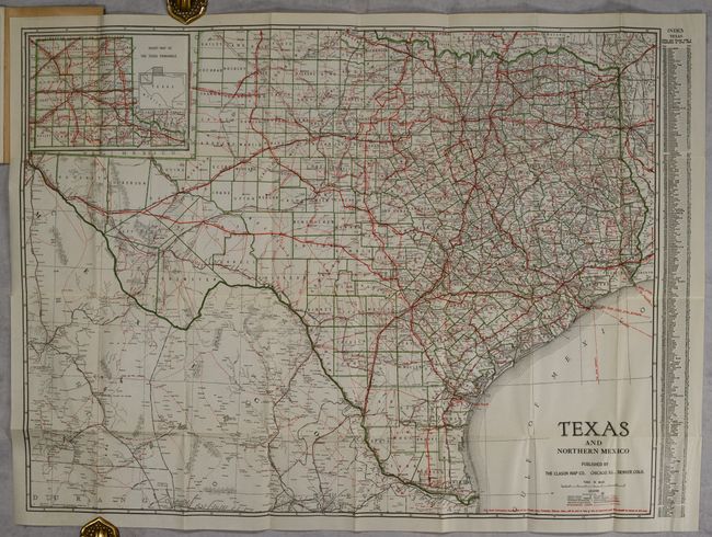
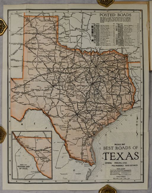
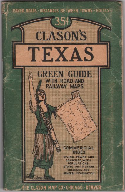
This folding map of the state is complete with descriptive booklet, "Clason's Texas Green Guide" (4.0 x 6.3'"). It is delineated by county in green outline color with an inset of the Texas panhandle at top left. A legend at bottom right locates trunk line railroads, railroads, auto routes, and “Mexican Wagon Roads.” Accompanying the large map is a Mileage Map Best Roads of Texas (12.1 x 15.5") with accompanying Mileage Map of the Transcontinental Trails of the United States (12.0 x 9.4") on verso. 64 pages with photographic illustrations and single-page maps of Austin, Dallas and San Antonio. Folds into pictorial paper wrappers featuring a Native American girl.
References:
Condition: A
Issued folding on a clean bright sheet with one short split at a fold junction. The smaller folding maps and text are clean, bright and near fine. Wrappers have minor wear and light creasing.