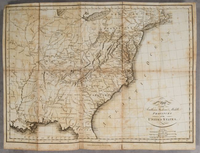
Subject: Eastern United States
Period: 1805 (published)
Publication:
Color: Black & White
Size:
19.3 x 14.1 inches
49 x 35.8 cm
A detailed map of the early United States with Georgia Territory extending from the coast to the Mississippi River, and the early states of Kentucky and Tennessee. Filled with interesting locations including the company lands of Illinois and Jersey, L. Kickapoo-T. and more. The forts, native villages, and frontier settlements are noted including St. Louis, New Madrid, and Naches. Good depiction of the road from Richmond across the Appalachian Mountains to Nashville, and the road across the Midwest to St. Louis. The land west of the Mississippi has only native names except Arkansas is named. Engraved by Neele.
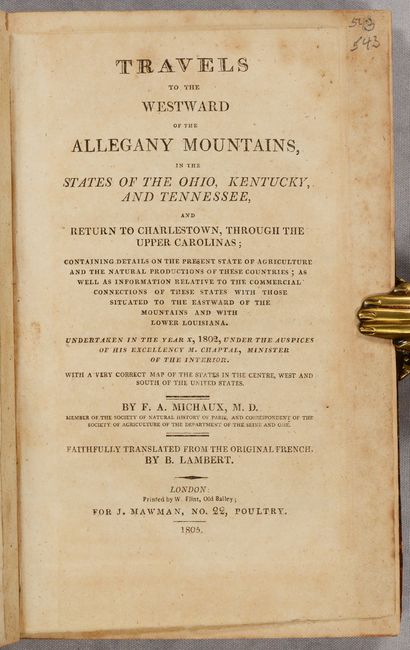
This map serves as the frontispiece to the English edition of Francois Andre Michaux's Voyage a l'Ouest des Monts Alleghanys, dan les Etats du l'Ohio. Printed in London by W. Flint for J. Mawman. Small octavo; map; xvi; 350 pages. Hardbound in quarter leather with tips over marbled boards with gilt bands and red leather title label on spine.
References:
Condition: B
The map is foxed with light offsetting and a few short fold separations. The text has light, scattered foxing. The covers are worn with bumped corners, and the front cover is detached. The back cover is just beginning to detach. The spine is cracked with abrasions.