Subject: Quebec, Canada
Period: 1948 (dated)
Publication:
Color: Printed Color
Size:
16.8 x 22.1 inches
42.7 x 56.1 cm
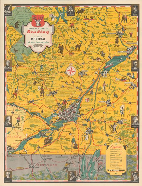
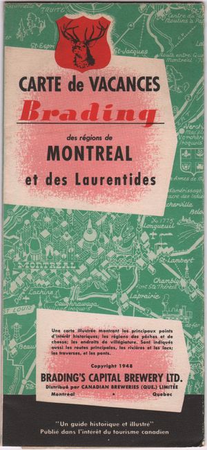
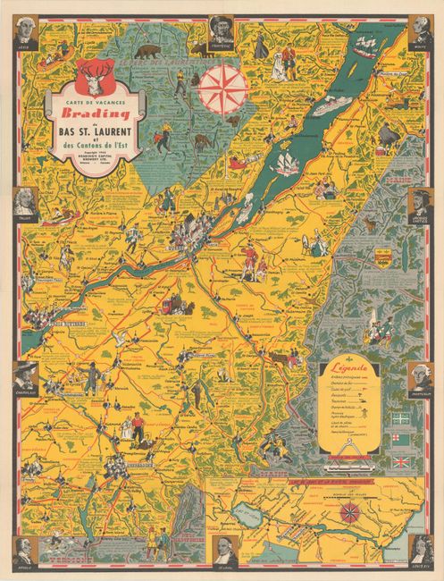
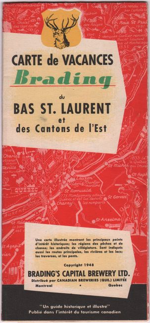
This striking pair of pictorial maps were designed by Stanley Turner for Brading's Capital Brewery Ltd. The first centers roughly on Montreal and extends north to Parc National du Mont-Tremblant and south to Plattburgh, New York. The second centers on Quebec City and spans north to the Laurentides and south to show parts of Vermont, New Hampshire, and Maine. It includes an inset at bottom right that expands coverage to show Lake Saint-Jean and the Saguenay River. Both maps feature illustrations of historical events, the architecture of major cities, forms of transportation, and more. Legends on each map identify roads, railroads, golf courses, airports, ferries, battlegrounds, hydro-electric power stations, fishing and hunting grounds, and historical names. The decorative borders incorporate portraits of historical personages, including Champlain, Cartier, La Salle, Frontenac, and Montcalm. The map compositions are completed with decorative title cartouches and compass roses. Self-folding into pictorial wrappers.
References: cf. Rumsey #10695 & 10696.
Condition: A+
Vibrant examples, issued folding.