Catalog Archive
Auction 195, Lot 564

"Archiepiscopatus et Electoratus Coloniensis ut et Ducatuum Iuliacensis et Montensis nec non Comitatus Meursiae Nova Tabula", Homann, Johann Baptist

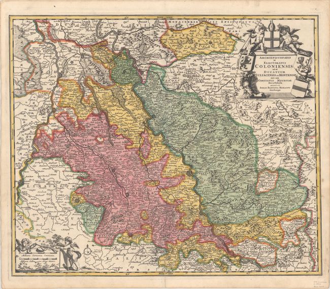
Subject: Western Germany

Period: 1730 (circa)

Publication:

Color: Hand Color

Size:
22.6 x 19 inches
57.4 x 48.3 cm
Download High Resolution Image
(or just click on image to launch the Zoom viewer)

The Rhine River cuts across this map from south of Bonn, centered on Cologne and north to Wesel. The map extends into The Netherlands and Belgium. Loaded with topographic information, the map names hundreds of cities, towns, rivers and lakes. Putti display coats of arms around the decorative title cartouche and also adorn the scale cartouche in the lower left.

References:

Condition: A

A sharp impression with full contemporary color on a bright sheet with an elephant watermark. There is a soft crease at bottom left and a centerfold separation that enters 2" into image at bottom and has been closed on verso with archival tape.

Estimate: $180 - $210

Unsold

Closed on 11/15/2023

Archived