Catalog Archive
Auction 195, Lot 498

"Corectissima nec non Novissima Dominii et Provinciae Groningae et Omlandiae Tabula, Accurate Delineata, Distincte Divisa, et in Lucem Edita", Wit, Frederick de

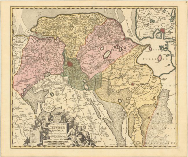
Subject: Northern Netherlands

Period: 1721 (circa)

Publication:

Color: Hand Color

Size:
22.9 x 19.4 inches
58.2 x 49.3 cm
Download High Resolution Image
(or just click on image to launch the Zoom viewer)

A striking map centered on Groningen that shows portions of the bordering provinces of Drente and Frisland, extending northeast to Emden, Germany. The map is filled with cities depicted as miniature bird's-eye plans, tiny towns, roads, topography, and political boundaries. A finely engraved figural cartouche features the agriculture of the area, a coat of arms, and incorporates the scale of miles and key. This is the fourth state, with the addition of the imprint of Covens & Mortier in the title cartouche.

References: Carhart (De Wit) #117.4.

Condition: A+

Superb impression with full contemporary color on a bright sheet.

Estimate: $350 - $425

Sold for: $180

Closed on 11/15/2023

Archived