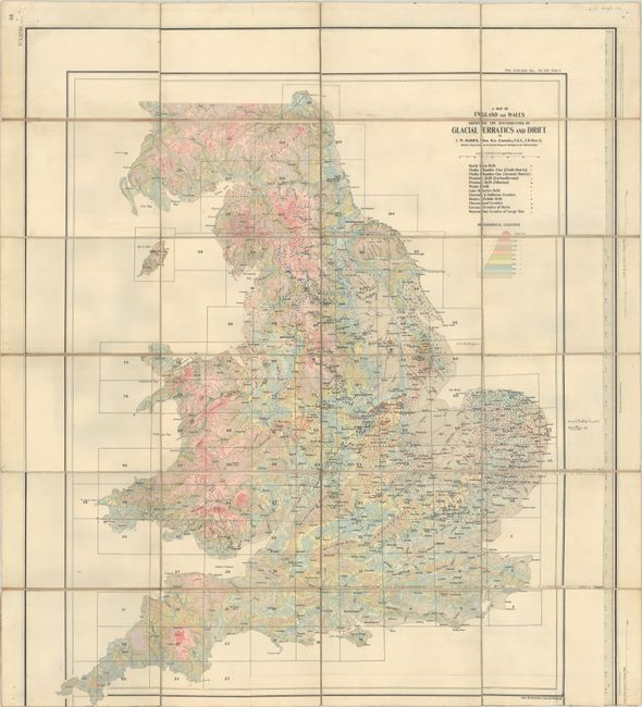
Subject: England & Wales
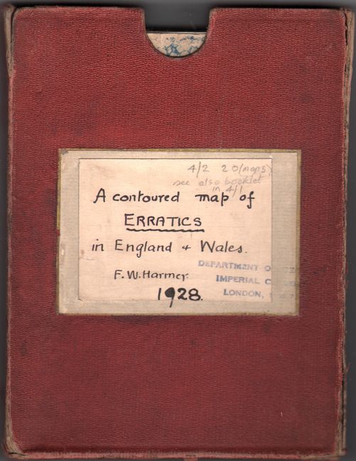
Period: 1928 (circa)
Publication:
Color: Printed Color
Size:
24.6 x 28.1 inches
62.5 x 71.4 cm
This map shows contours in color and the distribution of the different drifts and erratics in England and Wales due to glacial geology. Drawn on a scale of sixteen miles to one inch. Created by Frederic William Harmer, an honorary member of the Société Géologique de Belgique (Belgian Society of Geology). Published by the Proceedings of the Yorkshire Geological Society. The map is dissected and mounted on linen with self-folding marbled-paper wrappers with a hand-written title label. This is an interesting example in which the map was actually pasted on top of another map, which can be seen along the dissected edges. The keyboard border at right belongs to the original map that was pasted onto the linen. The bottom border of the Glacial Erratics map has been cut off and pasted to fit on the linen. (We are uncertain as to what map exists beneath this one.) Housed in a red cloth-covered slipcase also with a hand-written title label. Date is hand-written on labels.
References:
Condition: B+
A bright example with very light soiling, an abrasion in East Sussex, and a couple of old ink notations on the map. There are old library stamps from the Department of Geology, Imperial College, London, on the cover and the slipcase.