Subject: Southwestern Montana, Yellowstone National Park
Period: 1946 (circa)
Publication:
Color: Printed Color
Size:
16.8 x 22.9 inches
42.7 x 58.2 cm
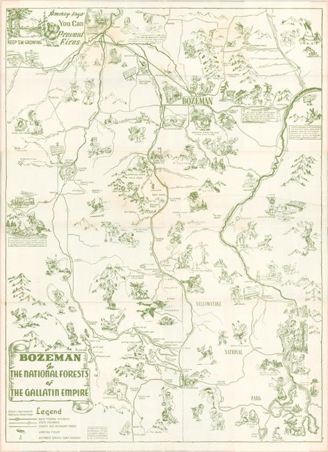
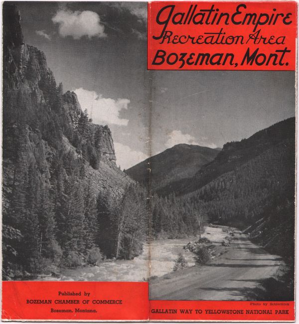
This scarce pictorial map centering on Gallatin National Forest was compiled and drawn by J. LaCasse at the Regional Office of the U.S. Forest Service in Missoula, Montana. Published by the Bozeman Chamber of Commerce, it depicts Bozeman as the hub of the region and extends from the headwaters of the Missouri River south to Yellowstone Lake. The landscape is filled with illustrations in an irreverent cartoon style, capturing the history, culture, and recreation of the region. Among the more memorable sights are John Colter fleeing naked from Blackfeet Indians; Sacagawea taking Lewis and Clark through Bozeman Pass; a mining camp by Virginia City; a hunter doing bird calls; an artist at work by Mt. Washburn; tourists admiring Old Faithful; and a mermaid along the shore of Henrys Lake. The map extends to show part of eastern Idaho as well. A legend identifies federal and state highways, country and secondary roads, landing fields, and U.S. Forest Service Camp Grounds. Self-folds into a brochure (4.0 x 8.6") with the alternate title: Gallatin Empire Recreation Area Bozeman, Mont.
References:
Condition: B+
Issued folding with minor soiling and an extraneous crease at right.