Subject: World
Period: 1844 (dated)
Publication:
Color: Hand Color
Size:
23.3 x 13.4 inches
59.2 x 34 cm
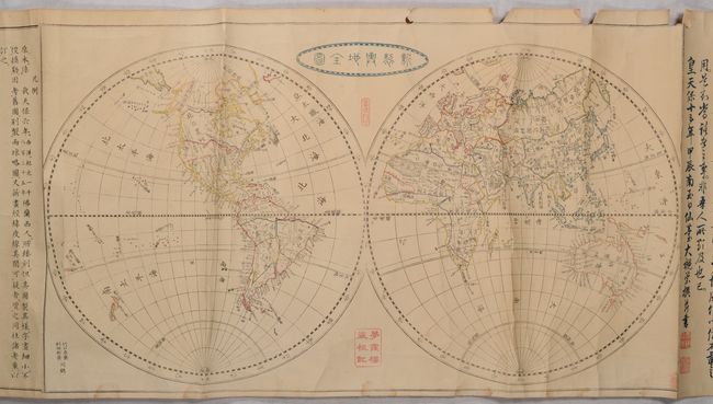
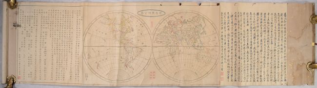
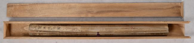
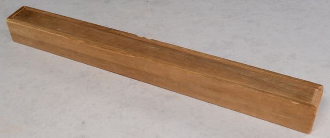
This attractive Japanese world map by Mitsukuri Shogo is presented in scroll format. It is flanked by panels of Japanese text and housed in a wooden box. The map is presented in two hemispheres with a particular emphasis on physical geography, including river systems and topography. Shogo states that the map was based upon an earlier 1835 French map, which he enhanced with the inclusion of latitude/longitude lines, five climatic zones, and hand coloring to differentiate the continents and some countries. In North America, the Southwest appears to be in Mexican control (Texas is not delineated) and the boundary between Canada and the United States is presented along the 49th parallel. In the Eastern Hemisphere, Australia is noted as both "New Holland" and Australia. The only state noted is New South Wales. To its north, the sea to the west of Japan is noted as "the Sea of Korea" while the waters to the east are labeled "The Sea of Great Japan." The full scroll with text panels measures 46.5 x 13.4". Engraved by Takeguchi Teisai. Housed in a wooden box.
References:
Condition: B
There is some extraneous creasing in the map, 4 small chips at top with small loss of border, and some minor dampstains along the bottom border. Worm tracks in the text at right are mostly in the blank margins, and in the text at left there is a bit of staining.
Wooden box is cracked on one long side, and a short side piece (1.5 x 1.5") is missing.