Catalog Archive
Auction 195, Lot 209
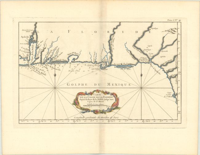
"Carte de la Coste de la Floride Depuis la Baye de la Mobile Jusqu'aux Cayes de St. Martin", Bellin, Jacques Nicolas
Subject: Colonial Southern United States
Period: 1764 (circa)
Publication: Le Petit Atlas Maritime…
Color: Hand Color
Size:
13.6 x 8.5 inches
34.5 x 21.6 cm
Download High Resolution Image
(or just click on image to launch the Zoom viewer)
(or just click on image to launch the Zoom viewer)