Catalog Archive
Auction 195, Lot 138

"Partie du Nord de l'Amerique Septentrionale pour Servir a l'Histoire Philosophique et Politique des Etablissemens et du Commerce des Europeens dans les Deux Indes", Bonne, Rigobert

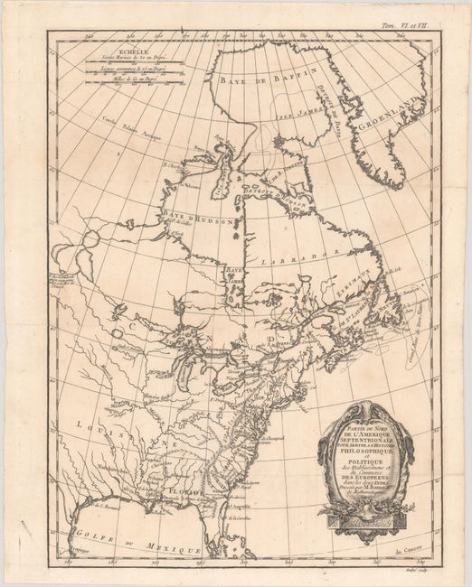
Subject: Colonial Eastern United States & Canada

Period: 1774 (circa)

Publication: Raynal's Histoire Philosophique et Politique

Color: Black & White

Size:
9.4 x 12.8 inches
23.9 x 32.5 cm
Download High Resolution Image
(or just click on image to launch the Zoom viewer)

This attractive map of the eastern part of North America shows the British colonies confined along the eastern seaboard with French Louisianne and Canada taking up the interior. In the upper left is a series of rivers and lakes purportedly connecting Hudson Bay with la Mer de l'Ouest (Sea of the West). Features include the notation of the Natchitoches tribe in Louisiana Territory, along with numerous additional native tribes. Three distance scales and a fine shield-style cartouche embellish the composition. Engraved by Andre.

References: McCorkle #774.1.

Condition: A

A crisp impression issued folding, now flat, on a bright sheet with a bunch of grapes watermark and minor toning.

Estimate: $150 - $180

Sold for: $110

Closed on 11/15/2023

Archived