Subject: Atlases
Period: 1852 (published)
Publication:
Color: Hand Color
Size:
10.4 x 13.4 inches
26.4 x 34 cm
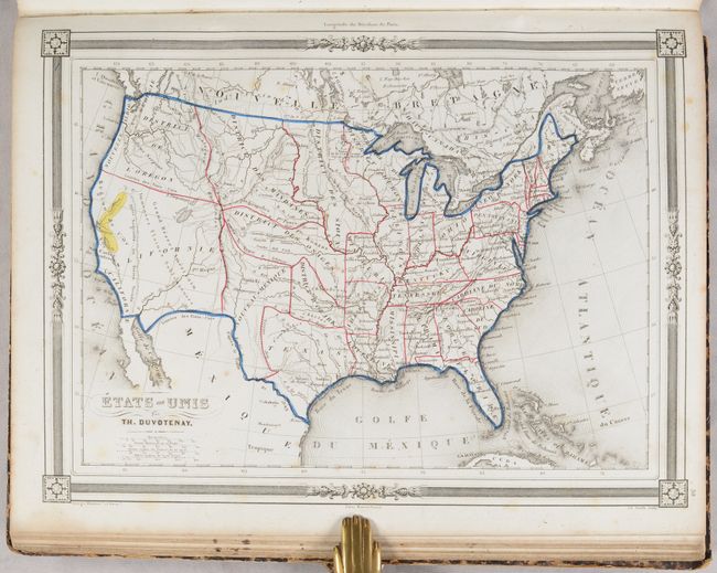
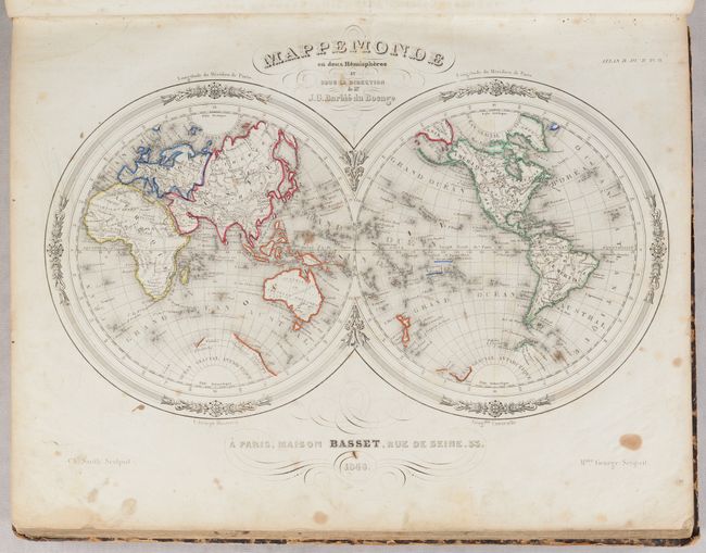
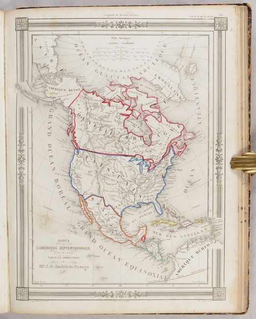
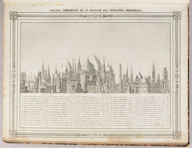
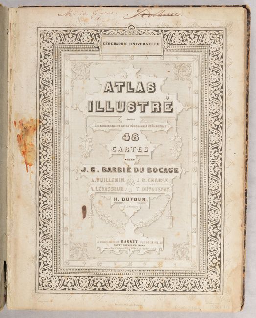
This world atlas contains 48 maps and charts, which include the following: world, 5 continents, Oceania, 13 regional maps of Europe, 5 regional maps of Asia, 2 regional maps of Africa, 5 regional maps of the Americas, and 12 historical maps. Also included are a chart of the solar system and comparative charts of the mountains, rivers and important buildings in the world. Of particular interest is the map of the United States, which has an early depiction of the California Gold Regions (Region de l'Or). A large area which follows the Sacramento River valley and part of the Central Valley is delineated with engraved lines and colored yellow to suggest gold. The state of California is not identified, but rather the entire Southwest is labeled Californie. The map contains several other large territories in the West. Oregon Territory extends to the Rocky Mountains with the large Mandan District to the east as far as the Missouri River. From the Missouri the large Sioux District extends to the Huron District in today's Wisconsin and Minnesota. Hardbound in marbled covers.
References:
Condition:
The maps are in contemporary outline color, with 31 in very good (B+) condition and 17 in good (B) condition with soiling and foxing and occasional old manuscript notations. The title page is heavily stained and the list of maps has old manuscript text and drawings. The covers are worn and scuffed with bumped corners and are nearly detached. The spine is completely perished.