Subject: Atlases
Period: 1745 (published)
Publication:
Color: Hand Color
Size:
4.8 x 7.5 inches
12.2 x 19.1 cm
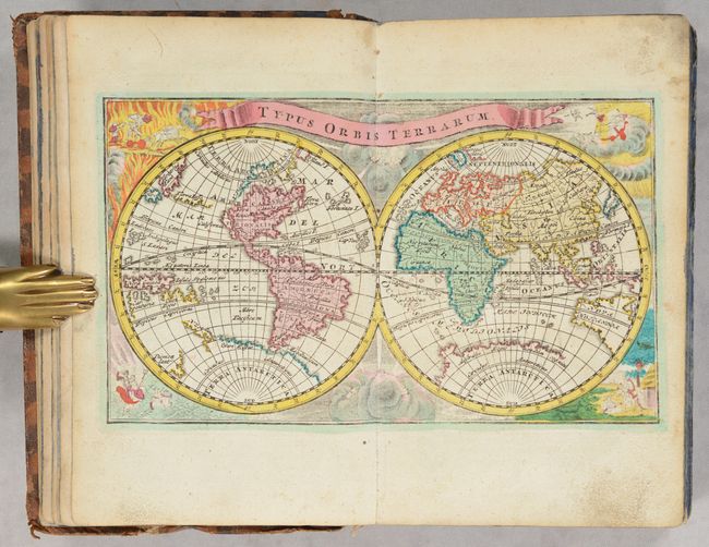
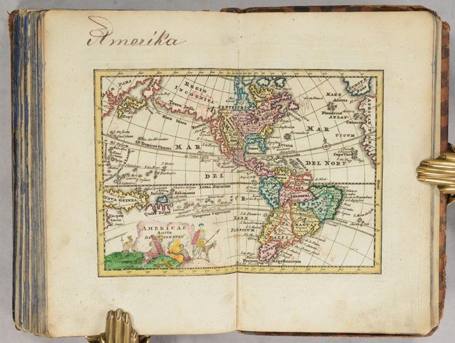
This handsome miniature atlas is complete with 31 hand-colored folding maps and was created for the use of students. The majority of the maps pertain to Europe, and each map is accompanied with text on the region. The world map features the island of California and a disembodied section of coastline stretching between Asia and North America labeled Terra Iesso. The cartography in the South Pacific is confused with Tasman's discoveries in New Zealand and Tasmania set alongside a nearly complete Antarctic continent. The map is set against a background of allegorical figures depicting the four elements, with the title on a banner above. The map of the western hemisphere also shows the island of California and Terra Iesso, and gives additional detail in North and South America. Political boundaries, numerous place names, and a hint at a northwest passage are included.
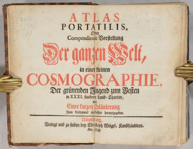
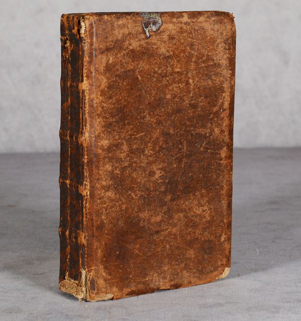
Published in Nurnberg by Weigel. 12mo, 275 pp., foreword, 31 maps, list of maps at end of volume. Full leather binding with raised bands and embossing on spine.
List of maps:
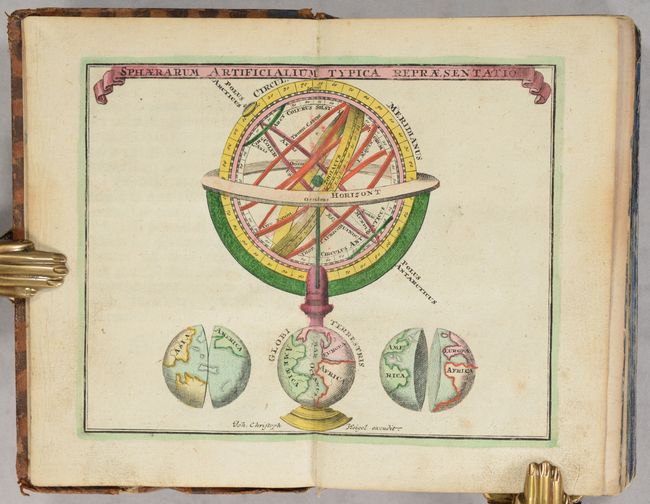
1. Sphaerarum Artificialum Typica Repraesentatio
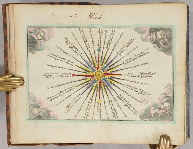
2. [Tabula Ventorum]
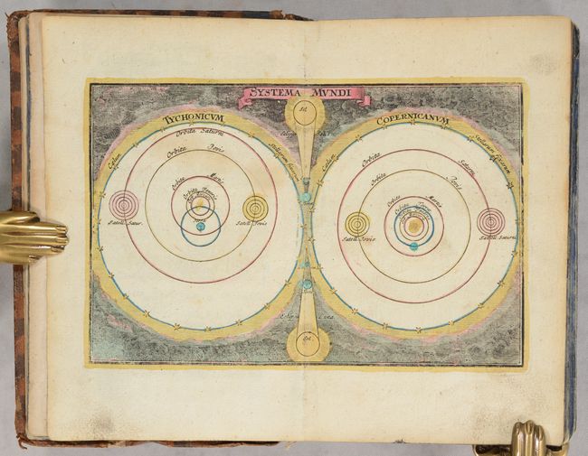
3. Planiglobium Coeleste
4. Typus Orbis Terrarum
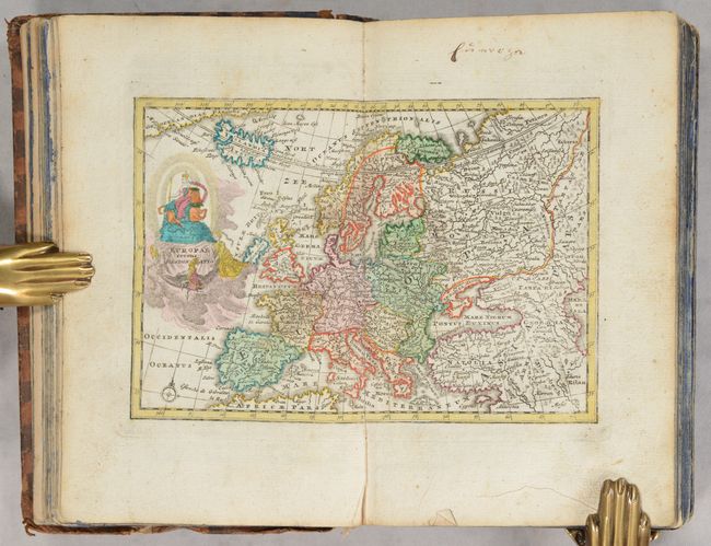
5. Europae Recens Designatio
6. Regnum Portugalliae et Algarbiae
7. Regni Hispaniae Delineatio
8. Regnum Galliae Moderna
9. Angliae Scotiae et Hiberniae Regna
10. XVII Provinciae Belgii Accurate Delineatae
11. Italia cum Insulis
12. Neapolitani Regni Tabula
13. Germania Secundum X Circulos
14. Novissima Foederatorum Helvetiorum Tabula
15. Germaniae in suos XI. Circulos Accurate Divisae Tabula
16. Danubius a Fonte Usque ad Ostia
17. Totius Fluminis Rheni Accurata Delineatio
18. Bohemia et Provinciae huic Regna Unitae
19. Ducatus Silesiae Tabula
20. Regnum Poloniae ejusque Confinis
21. Regni Prussiae Accurata Delineatio
22. Daniae cum Serie Insularum Suarum Regn:
23. Sueciae Regnum cum Vicinis Regionibus
24. Imperium Moscoviae
25. Regnum Hungariae cum contiguous Regionibus
26. Imperium Turcicum
27. Graeciae et Archipelagi Delineatio
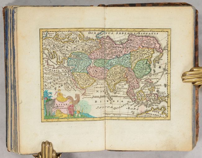
28. Asiae Nova Delineatio
29. Palaestina Iudea, Terra Promissa aut Terra Sancta
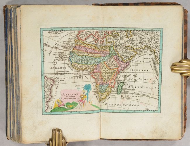
30. Africae Emendata Descriptio
31. Americae aucta Delineatio
References:
Condition: B+
The maps are mostly in "A" condition with full contemporary color and minor occasional soiling or offsetting. Several of the maps have slightly weaker impressions due to the copperplates being worn down. The map of Europe has a centerfold separation that just enters the map border at bottom. The map of Bohemia and pages 177-178 are detached due to the text block splitting at that location, but the text block is otherwise sound. The text has occasional soiling and foxing. The covers are heavily worn with bumped corners and chips to the leather. The spine is also worn with some cracking and chips to the leather.