Catalog Archive
Auction 194, Lot 644
"[On 2 Sheets] Carte de la Partie Superieure de l'Inde en Deca du Gange [and] Carte de la Partie Inferieure de l'Inde en Deca du Gange, Contenant l'Isle de Ceylan, les Cotes de Malabar et de Coronmandel...", Bonne, Rigobert
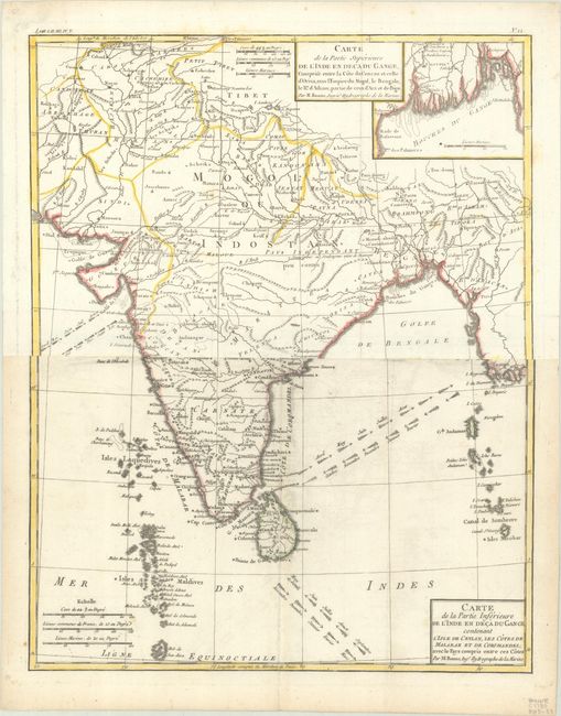
Subject: India & Sri Lanka
Period: 1780 (circa)
Publication: Atlas de Toutes les Parties Connues du Globe Terrestre
Color: Hand Color
Size:
12.8 x 16 inches
32.5 x 40.6 cm
Download High Resolution Image
(or just click on image to launch the Zoom viewer)
(or just click on image to launch the Zoom viewer)