Subject: Japan
Period: 1856 (published)
Publication:
Color: Black & White
Size:
6.8 x 10.1 inches
17.3 x 25.7 cm
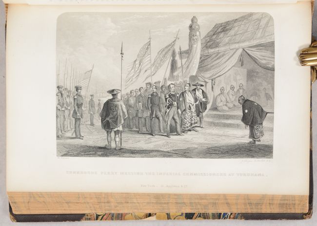
This is the first edition of this historical work that documents, in text, maps and profuse illustration, this important expedition that established relations between the United States and Japan. Perry established a treaty in 1854 that required that ship-wrecked sailors in Japanese territory be treated humanely, and that coal would be sold to U.S. ships. It also opened the port cities of Shimoda & Hakodate to U. S. commerce, ending 400 years of Japanese isolation.
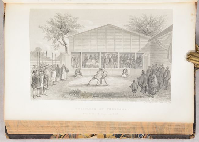
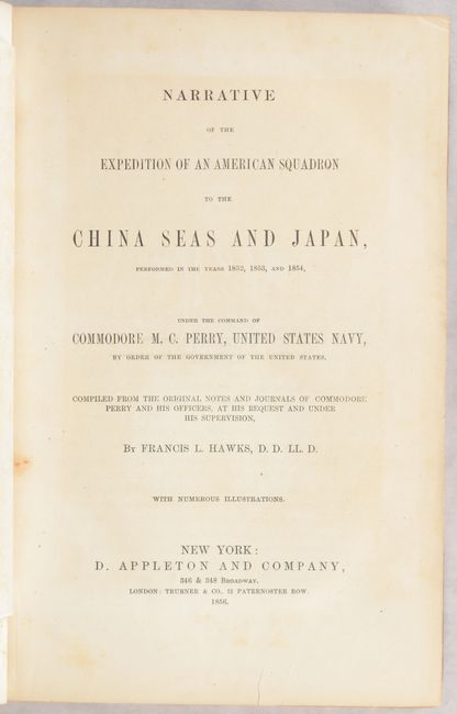
Compiled by Francis L. Hawks and published by Appleton and Company, three volumes in one. Contents: frontispiece (Prince of Idzu), title page, Prefatory Note, Errata & List of Illustrations Wrongly Lettered, Letter of the Secretary of the Navy, Introduction, Appendix, Index. 624 pages includes scores of illustrations, plus maps, charts and drawings, many with original tissue guards. This edition does not contain the suppressed "Public Bath at Simoda" plate. Maps include the following:
Chart showing the track of the Flagships of the U.S. Japan Expedition to the Eastd. of the Cape of Good Hope 1853 & 1854 (16" x 10.5"). Condition: Creasing at bottom with a couple of small tears also at bottom repaired on verso with archival tape. (B+)
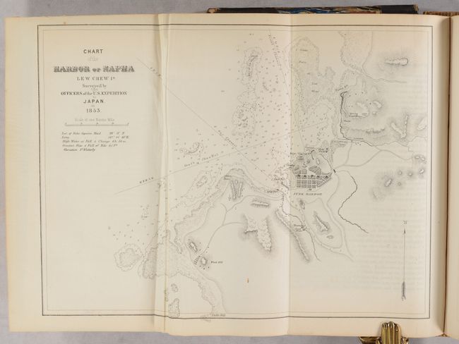
Chart of the Harbor of Napha Lew Chew Id. (12.0 x 8.8”). Condition: Creasing along the left fold. (B+)
Island of Great Lew Chew (8" x 6"). Condition: Near fine. (A)
Great Lew Chew and Its Dependencies (8 x 6). Condition: Near fine. (A)
Chart of the Bonin Group of Islands (6.3 x 8.6”). Condition: Near fine. (A)
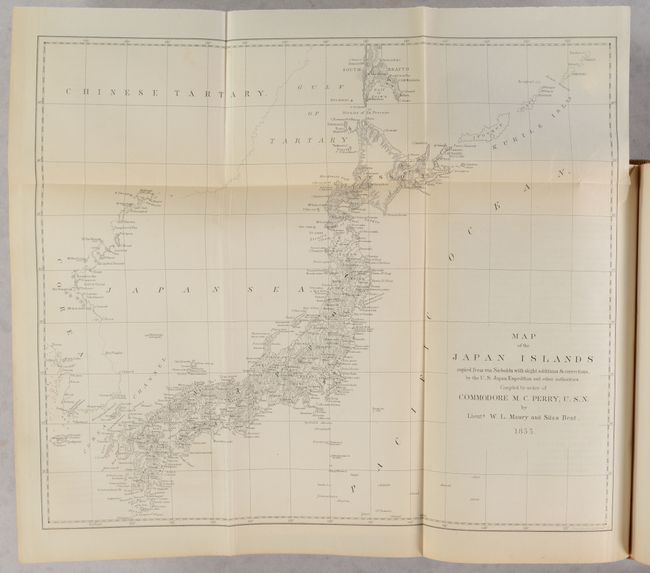
Map of the Japan Islands copied from von Siebolds... (14 x 12”). Condition: Near fine with a short binding tear confined to the right blank margin. (A)
Bay of Yedo (12 x 8.9”). Condition: Near fine. (A)
Simoda Harbor Id. of Nippon (11.5 x 9"). Condition: Near fine. (A)
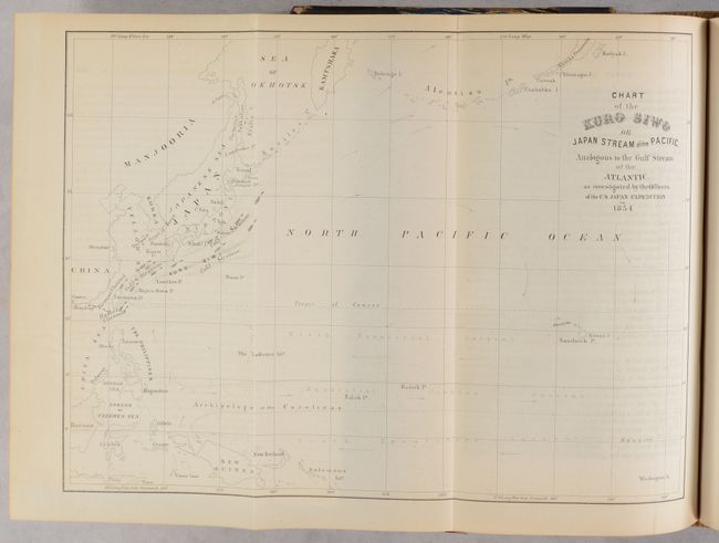
Chart of the Kuro Siwo or Japan Stream of the Pacific Analogous to the Gulf Stream of the Atlantic (12 x 9"). Near fine. (A)
Hakodadi Harbor (11.9 x 8.7”). Condition: Near fine. (A)
The Island of Formosa (6.5 x 9"). Condition: Near fine. (A)
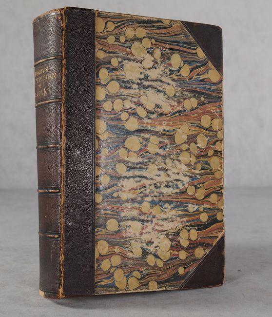
Hardbound in quarter calf with tips over marbled boards. Marbled edges.
References: Sabin #30968.
Condition: B+
The maps and plates are mostly clean and bright and range from very good to mostly near fine. Additional condition details for the maps are included in the description above. Text is very good with occasional offsetting from the plates and minor toning. Front cover is detached. Binding has average shelf wear.