Catalog Archive
Auction 194, Lot 58

"Carta del Nuovo Continente Giusta la Massima sua Lunghezza Diametrale dal Fiume de la Plata fino al di la del Lago degli Assiniboili", Robert de Vaugondy, Didier

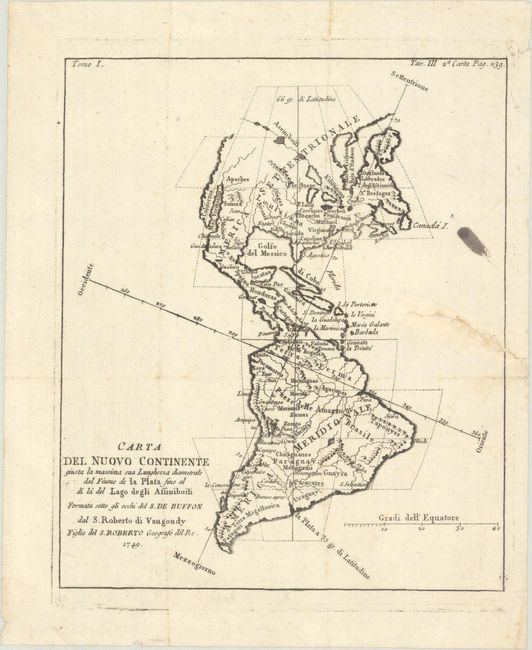
Subject: Western Hemisphere - America

Period: 1749 (dated)

Publication:

Color: Black & White

Size:
6.7 x 8 inches
17 x 20.3 cm
Download High Resolution Image
(or just click on image to launch the Zoom viewer)

This is a rare Italian edition of this interesting map that shows the north-south and east-west axes at oblique angles to the continents. In North America, the Pacific Northwest coastline is not delineated and a series of rivers and lakes make up a Northwest Passage. At upper right, inside the neatline is "Tav. III 2.a Carta Pag. 239." The French edition of this map is given a full-page illustration in Pedley's book on page 94 and is discussed in her chapter "Maps that Illustrate and Teach."

References: cf. Pedley #18.

Condition: B

A crisp impression, issued folding with an ink stain at right, a hint of foxing along the folds, and a tear that enters 1.5" into the image at right and has been closed on verso with old paper.

Estimate: $100 - $130

Sold for: $75

Closed on 9/13/2023

Archived