Catalog Archive
Auction 194, Lot 514

"Palatinatus Posnaniensis, in Maiori Polonia Primarii Nova Delineatio", Blaeu, Johannes

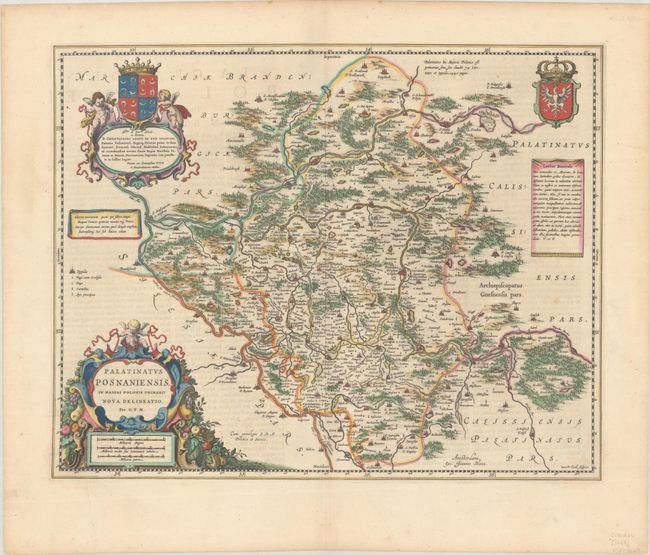
Subject: Western Poland

Period: 1663 (published)

Publication: Le Grand Atlas

Color: Hand Color

Size:
20.6 x 16.3 inches
52.3 x 41.4 cm
Download High Resolution Image
(or just click on image to launch the Zoom viewer)

Uncommon and very beautifully engraved map of the western part of Poland including the cities of Poznan and Glogow. The map is attributed to Gerard Mercator. Finely engraved to illustrate the rivers, forests, lowlands, lakes, cities, towns and villages. The map is richly adorned with cartouches, armorial shields, and putti. Engraved by Gerard Coeck and dedicated to Christoforus Comes de Bnin Opalinski. French text on verso.

References: Van der Krogt (Vol. II) #1910:2.

Condition: A

A sharp impression with full contemporary color on a bright sheet with an "IB" watermark, a couple of minor printer's creases, and a bit of marginal soiling.

Estimate: $475 - $600

Sold for: $300

Closed on 9/13/2023

Archived