Subject: France, Atlases
Period: 1765 (published)
Publication:
Color: Hand Color
Size:
8.4 x 10.9 inches
21.3 x 27.7 cm
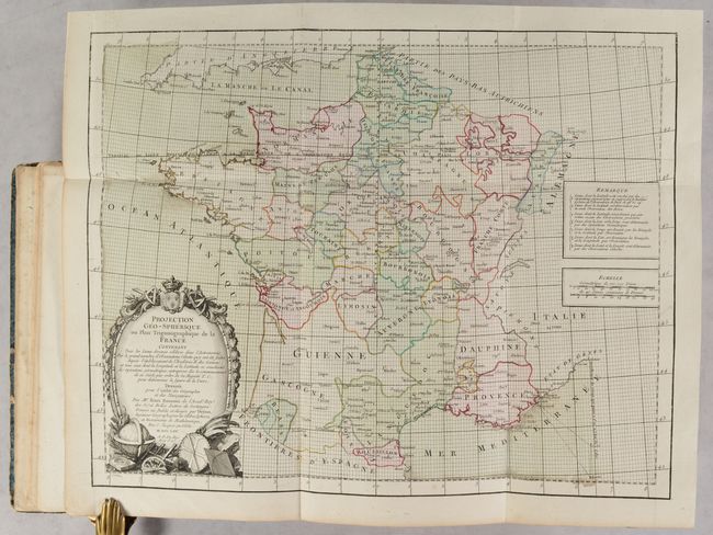
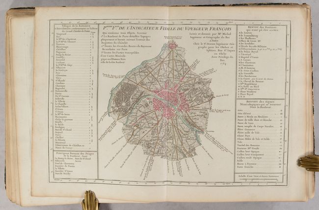
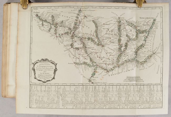
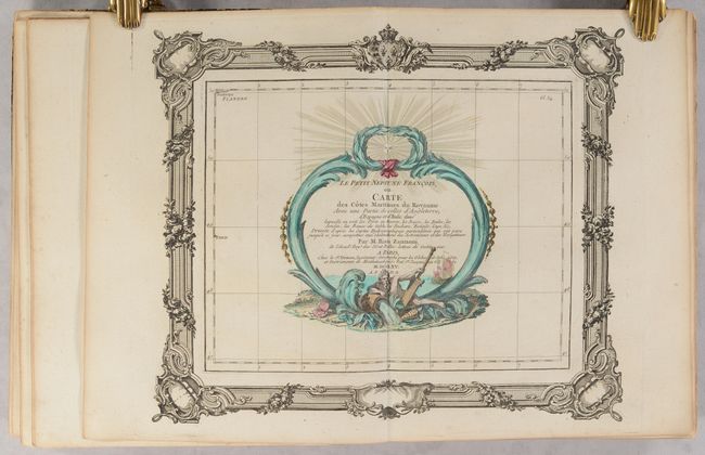
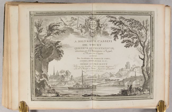
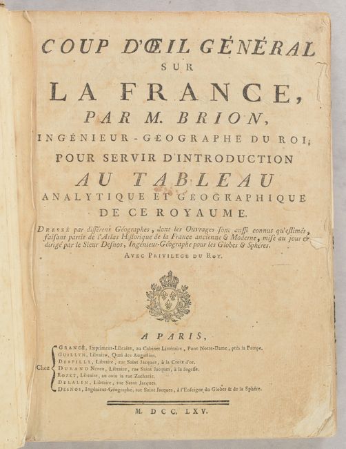
This fascinating atlas is one of the earliest statistical atlases with various information related to geography, finance, population, religion, government, military, etc. presented on individual maps of France. This atlas was created by Louis Brion de la Tour, who was Royal geographer of France, and Louis Charles Desnos, a map publisher. The atlas is divided into three separate parts, each with its own title page. Tableau Analytique de la France includes 30 maps and 4 additional plates. Of the maps, 28 are maps of France presenting various thematic information, including one large folding map. Le Petit Neptune Francois, ou Carte des Cotes Maritimes du Royaume has three maps of the coastal regions of France. L'Indicateur Fidele ou Guide des Voyageurs features an engraved page dedicating the work to Cassini de Thury, a map of France, a plan of Paris, 17 route maps within France, and a travel guide. The volume also includes a lovely frontispiece depicting Place de la Concorde in Paris.
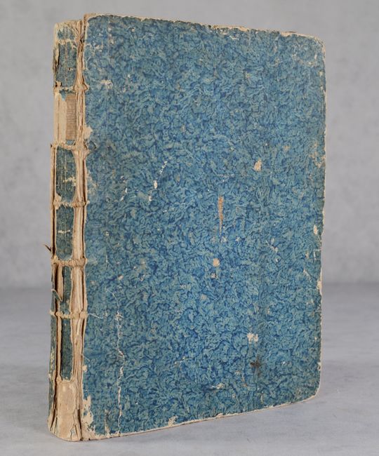
Many of the plates are numbered, however, the numbering throughout is inconsistent with some pages unnumbered and others out of sequence. Although the volume appears complete, it is possible that it is lacking one folding map of France based on our attempts to collate the volume with other examples (all of which had slightly different compilations). Hardbound in marbled paper.
References: Rumsey #13128.
Condition: B+
The maps have nice impressions with full contemporary color and are nearly all in very good (B+) or near fine (A) condition. There is light, scattered foxing and one route map has a 3 inch tear. Four maps are in good (B) condition with moderate toning. There is a dampstain affecting the bottom right corner of the last 2 maps and 7 text pages in the volume. The contents are a bit loose and the covers are nearly detached. The covers are heavily scuffed and the spine is nearly perished. This volume would be an excellent candidate for rebinding.