Catalog Archive
Auction 194, Lot 432
"[Lot of 2] Carte de la Partie Septentrionale du Royaume de Suede avec une Table des Provinces et Villes Principales [and] Carte de la Partie Meridionale du Royaume de Suede...", Chatelain, Henry Abraham
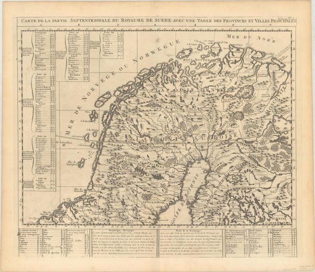
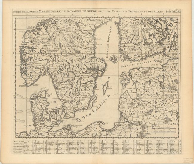
Subject: Scandinavia
Period: 1720 (circa)
Publication: Atlas Historique
Color: Black & White
Size:
17.9 x 15.5 inches
45.5 x 39.4 cm
Download High Resolution Image
(or just click on image to launch the Zoom viewer)
(or just click on image to launch the Zoom viewer)