Catalog Archive
Auction 194, Lot 347

"A New and Accurate Map of Terra Firma and the Caribbe Islands, Drawn from the Most Approved Modern Maps & Charts...", Bowen, Emanuel

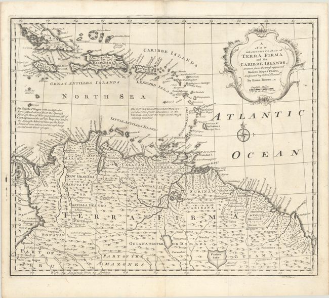
Subject: Northern South America & Lesser Antilles

Period: 1747 (circa)

Publication:

Color: Black & White

Size:
16.7 x 14 inches
42.4 x 35.6 cm
Download High Resolution Image
(or just click on image to launch the Zoom viewer)

This uncommon map covers most of the Caribbean from the southern part of Cuba through the Lesser Antilles and the northern part of South America to the Amazon Basin. It illustrates the region that was contested between the various European colonial powers and is filled with information on mines, cocoa plantations, native villages, and colonial settlements. One notation describes Wager's Action where an inferior British force defeated and destroyed the Spanish treasure fleet at Cartagena. Emanuel Bowen was one of the leading English mapmakers of the 18th century. Unusually he obtained royal appointments as engraver to both the French and English Royal Courts.

References:

Condition: A

A crisp impression on a clean bright sheet with an expertly repaired centerfold separation at bottom.

Estimate: $275 - $350

Sold for: $230

Closed on 9/13/2023

Archived