Catalog Archive
Auction 194, Lot 323

"[Lot of 2] Carte du Lac de Mexico et de ses Environs… [and] Carte des Environs de la Ville de Mexico", Bellin, Jacques Nicolas

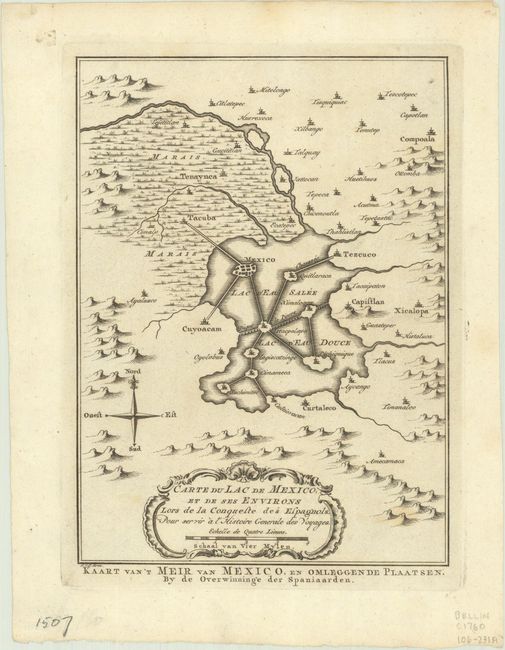
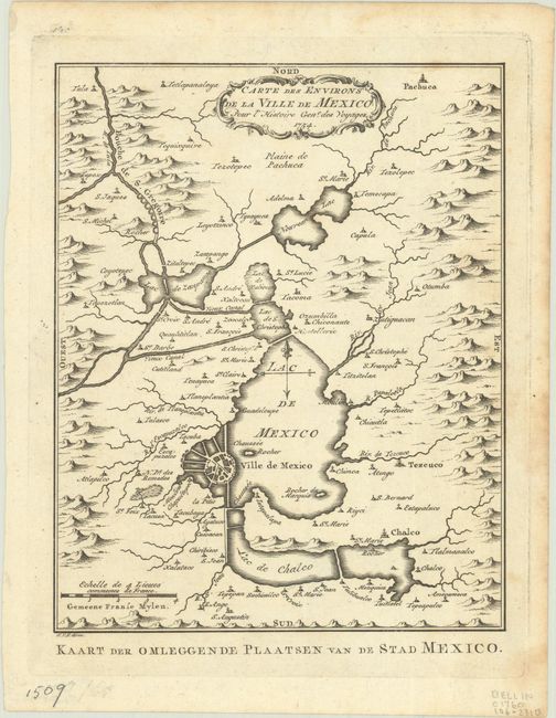
Subject: Mexico City, Mexico

Period: 1754 (circa)

Publication:

Color: Black & White

Size:
6.1 x 8.3 inches
15.5 x 21.1 cm
Download High Resolution Image
(or just click on image to launch the Zoom viewer)

Nice pair of copper engraved maps featuring Mexico City. The first one shows Mexico City as it was when discovered by the Spaniards. It is located in a large lake with a series of causeways linking the main city and other islands in the Lac d'Eau Salee with the mainland. Tacuba, Capistlan, Xicolopa, and Curtaleco are located in the surrounding countryside. The second map depicts a larger vicinity. The city is now shown with eight bridges extending from the shore. An aqueduct system is shown in the north feeding Lac de Zun Pango. Each map has a decorative rococo-style cartouches. Both engraved by Van der Schley with alternate Dutch titles below the maps.

References:

Condition: A

Crisp impressions with just a few faint spots of foxing.

Estimate: $120 - $150

Sold for: $110

Closed on 9/13/2023

Archived