Subject: Chicago, Illinois
Period: 1909 (dated)
Publication:
Color: Printed Color
Size:
23.8 x 35.8 inches
60.5 x 90.9 cm
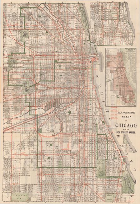
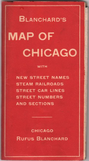
This exquisitely rendered street map of Chicago spans from Diversey south to 71st Street, with a continuation at top right that extends the map north of Diversey to Lawrence. Red overprinting indicates street car lines, elevated roads, and railroad lines throughout the city. Parks and cemeteries are shown as prominent green patches. An inset at right, Key or Outline Map of Chicago, was engraved by George F. Cram, Blanchard's nephew and former business partner. Blanchard published the first city guide of Chicago in 1857 and continued to document the growth and development of the city for the rest of his publishing career. He died in 1904; this posthumous issue was published by Cram. Street index on verso. Folds into red stiff paper covers with advertisements for other Blanchard maps on the back cover.
References:
Condition: B+
Issued folding with a few short fold separations and a couple small, light stains. Covers have minor shelf wear.