Subject: California
Period: 1907 (published)
Publication:
Color: Printed Color
Size:
20 x 25.4 inches
50.8 x 64.5 cm
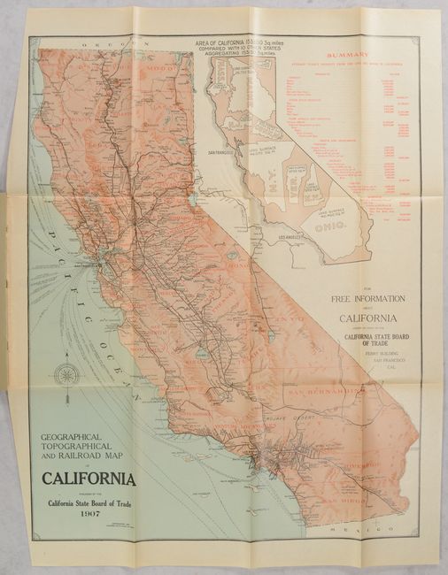
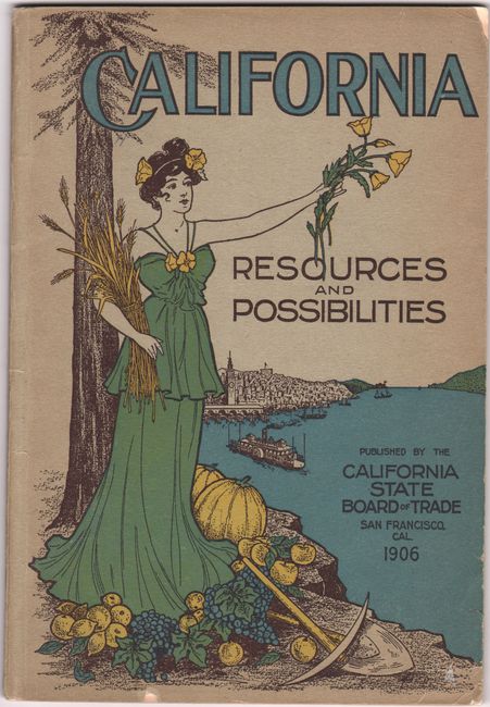
A detailed map of the state that is delineated by county and presents the railroad network and shipping routes. Relief is presented with an attractive three-dimensional effect. An unusual large inset map visually demonstrates how 10 other states would easily fit within California's footprint, and a table to its right presents the state's economic output. The map serves as the frontispiece to the Board of Trade's 17th Annual Report, which was issued shortly after the devastating San Francisco earthquake. N.P. Chapman, President of the Board, notes that "despite the temporary interruption and the check given to development work, save that of rehabilitation, the year 1906 made a good record." Pictorial paper wrappers (6.7 x 9.9").
References: Rumsey #5644.
Condition: A
The folding map has a hint of toning and the left side margin has been partially trimmed by the binder. Text is clean and bright. Wrappers have light wear with a few tiny edge chips.