Subject: Atlases
Period: 1856 (published)
Publication:
Color: Hand Color
Size:
9.8 x 12 inches
24.9 x 30.5 cm
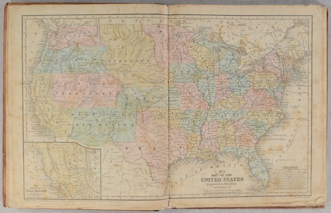
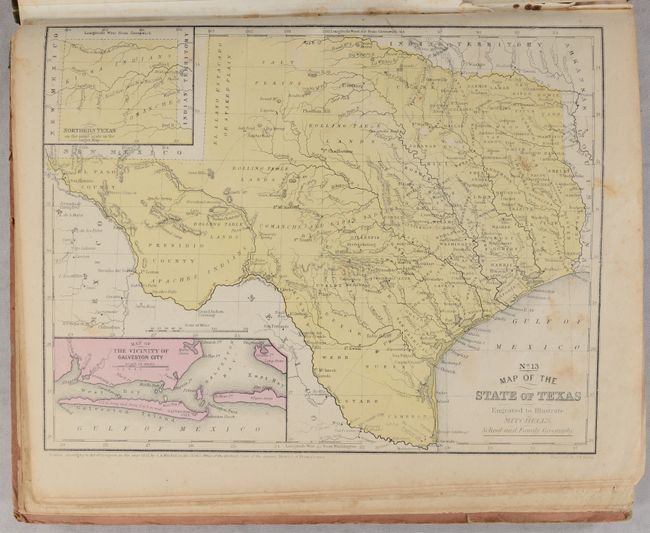
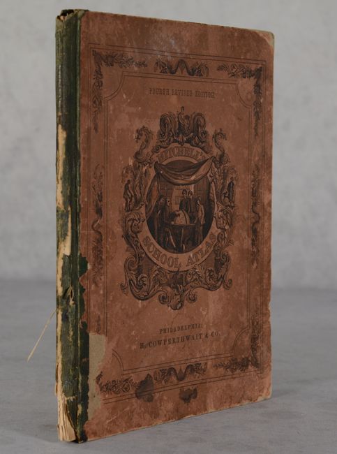
This example of Mitchell's famous school atlas is complete with 32 maps, many double-page, along with tables and statistics. All of the maps have blank versos. The double-page map of the United States features large Utah, Nebraska and New Mexico territories. Washington and Oregon territories extend to the Continental Divide. This map also has an inset of the Gold Region of California. The atlas also includes the desirable "No. 13 Map of the State of Texas" in its present-day configuration. Hardbound with pictorial paper over boards. This is the fourth revised edition, published by Thomas, Cowperthwait & Co.
References:
Condition: B
Contents have light soiling and moderate foxing throughout. The map of the United States is loose with a short centerfold separation at bottom. There is manuscript text on some of the versos and drawings on the rear endpapers. Boards are heavily worn and loosely attached.