Subject: Atlases, Texas
Period: 1845 (circa)
Publication:
Color: Hand Color
Size:
11.5 x 16.3 inches
29.2 x 41.4 cm
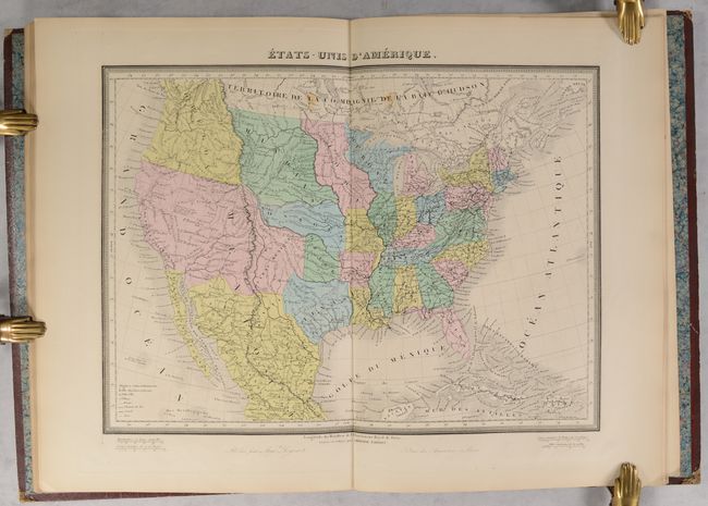
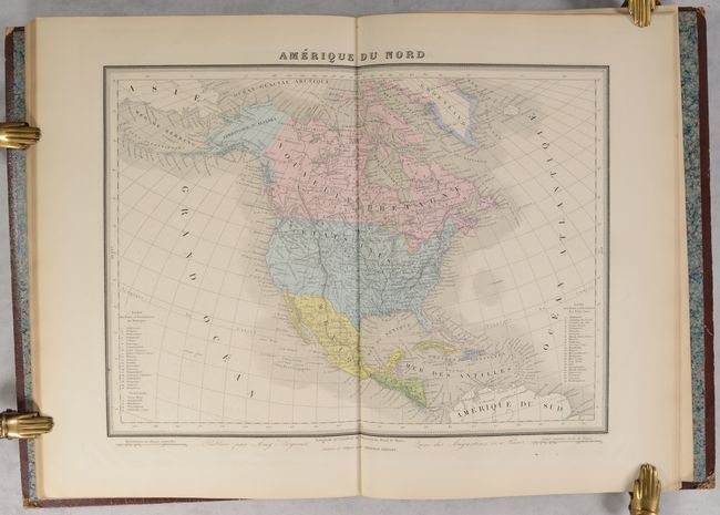
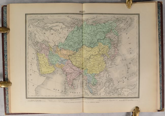
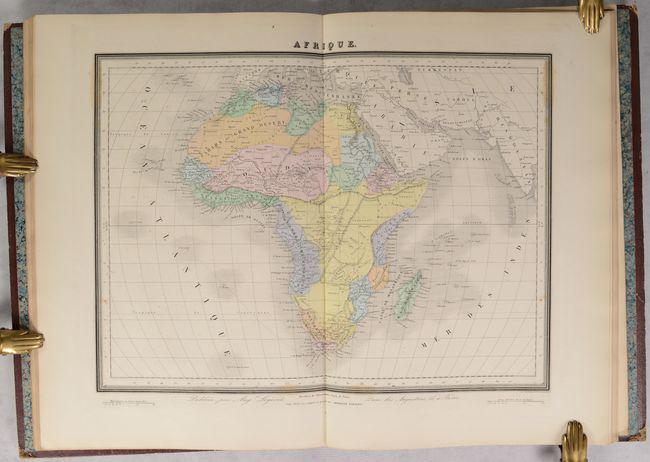
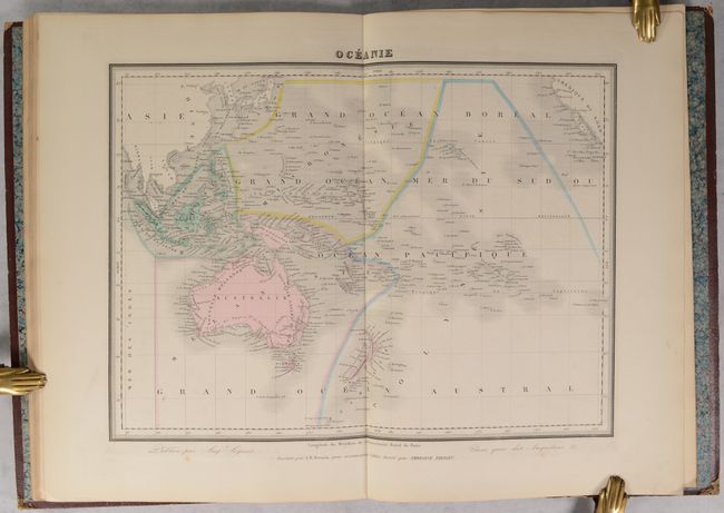
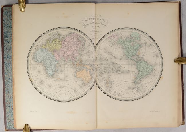
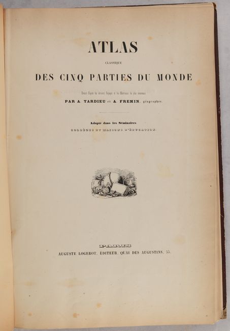
This French atlas contains 26 (of 30) called for maps including the world (3), Europe (13), Asia (1), Africa (3), North America (2), South America (2) and Oceania (2). The four missing maps are Germany, a sheet of French battle plans, and "muted" (basically ouline) maps of Asia and North America. The United States map features the Republic of Texas in its smaller configuration along the Nueces River and Oregon Territory extends well into present-day British Columbia, reflecting U.S. interests in the region. Indian districts are located and named between the Mississippi River and the Rocky Mountains. The map of North America presenss the United States in control of the Southwest with the Gila River serving as the boundary with Mexico while the boundary with Canada is up to date. The atlas was intended as a teaching aid as 8 of the called-for maps are nearly blank for instructional purposes. The maps were drawn by Tardieu and Fremin and the atlas was published by Auguste Logerot in Paris.
References:
Condition: B+
The maps are very good with some light toning and occasional foxing. Hinges are starting and have been reinforced with binder's tape. Covers are worn with bumped corners.