Catalog Archive
Auction 193, Lot 583

"Costa di Spagna dal Rio di Siviglia Sino a Malaga et la Costa di Barbaria da Larache Sino al Penon de Velez", Levanto, Francesco Maria

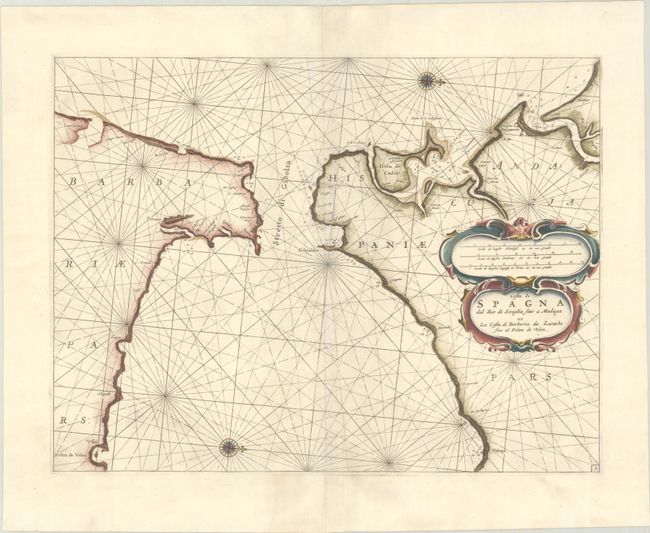
Subject: Strait of Gibraltar

Period: 1664 (circa)

Publication: Specchio del Mare

Color: Hand Color

Size:
20.3 x 15.4 inches
51.6 x 39.1 cm
Download High Resolution Image
(or just click on image to launch the Zoom viewer)

This superb and very uncommon sea chart covers the strategic Strait of Gibraltar with the adjoining coast of Spain and the infamous Barbary coast of Africa. Anchorages with soundings are located, along with sailing hazards and salt works along the Spanish coast. Levanto's atlas was one of the earliest Italian-printed nautical atlases. The maps were closely copied from the Dutch charts of Pieter Goos's Zee-Spiegel of 1662. The atlas was reissued by Coronelli in 1698; it is unknown from which edition this chart came.

References:

Condition: A

A dark impression on a bright, sturdy sheet with excellent margins and some extraneous creasing along the centerfold.

Estimate: $350 - $425

Sold for: $250

Closed on 6/21/2023

Archived