Subject: Central Italy
Period: 1662 (circa)
Publication: Atlas Maior
Color: Hand Color
Size:
19.7 x 15 inches
50 x 38.1 cm
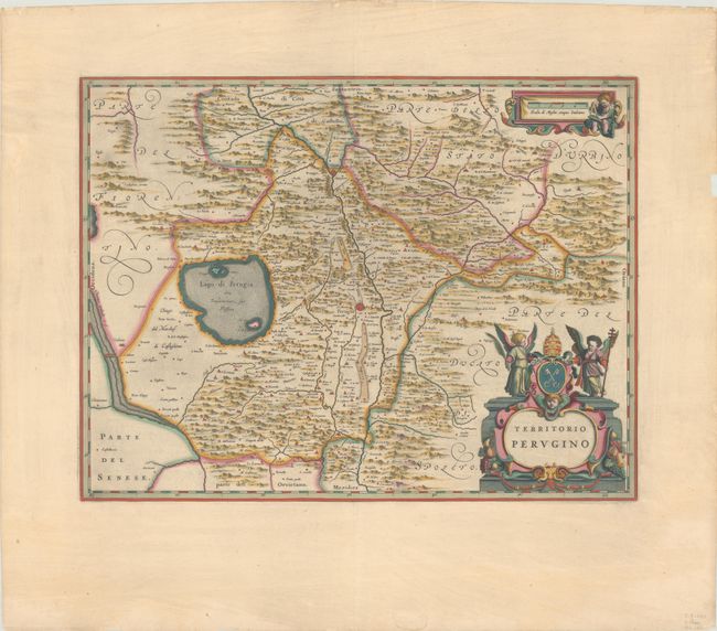
An attractive map of the area between Tuscany and Umbria with the city of Perugia at center and Lake Trasimeno to its west. The Chiana River is located along the left border and the region's hills and valleys dominate the map. Adorned by a decorative title cartouche with distance scale at lower right. Latin text on verso.
References: Van der Krogt (Vol. I) #7340:2.
Condition: A
Full contemporary color with gilt highlights on a wide-margined sheet with the watermark of the god Atlas. There are a few short tears and small chips along the edges of the sheet, with most of the tears closed with archival tape on verso. A centerfold separation at top has also been repaired with archival tape on verso.