Catalog Archive
Auction 193, Lot 470
"Le Royaume de France Fait Conforme aux Cartes, Imprimees, et Manuscrittes, Desinees sur la Situation des Lieux et Conferees avec les Itineraires Anciens et Modernes...", Seutter, Matthias
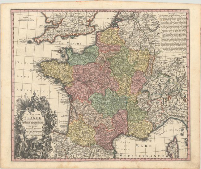
Subject: France
Period: 1734 (circa)
Publication:
Color: Hand Color
Size:
22.1 x 18.8 inches
56.1 x 47.8 cm
Download High Resolution Image
(or just click on image to launch the Zoom viewer)
(or just click on image to launch the Zoom viewer)