Catalog Archive
Auction 193, Lot 407

"Lancastria Palatinatus Anglis Lancaster & Lancas Shire", Jansson, Jan

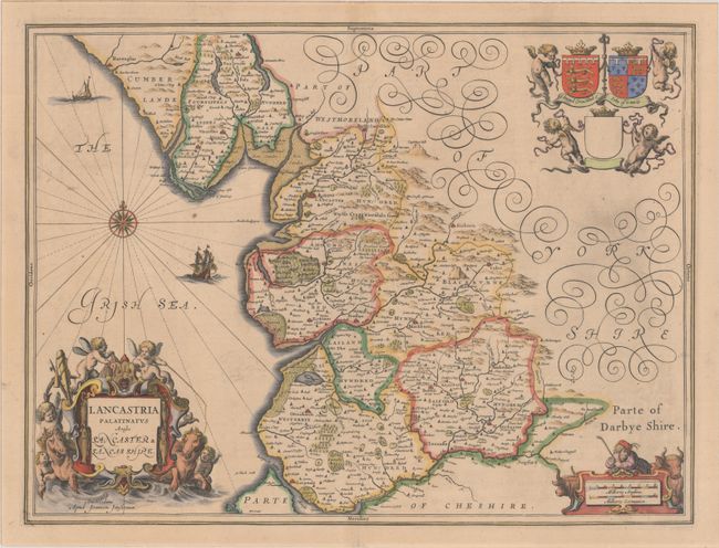
Subject: Northern England

Period: 1646 (circa)

Publication: Atlas Novus

Color: Hand Color

Size:
19.8 x 14.9 inches
50.3 x 37.8 cm
Download High Resolution Image
(or just click on image to launch the Zoom viewer)

This handsome map of Lancashire is divided into hundreds and shows good detail of towns, forests, and rivers. It features the arms of two important families in the region at top. The map is further adorned by two sailing ships, a strapwork distance scale featuring a farmer, and a large title cartouche surrounded by putti. Latin text on verso, published between 1646-59.

References: Van der Krogt (Vol. I) #5375:1.2.

Condition: A

A crisp impression with faint offsetting and a bit of printer's ink residue at right.

Estimate: $400 - $475

Unsold

Closed on 6/21/2023

Archived