Subject: Caribbean, South America
Period: 1820-22 (dated)
Publication:
Color: Hand Color
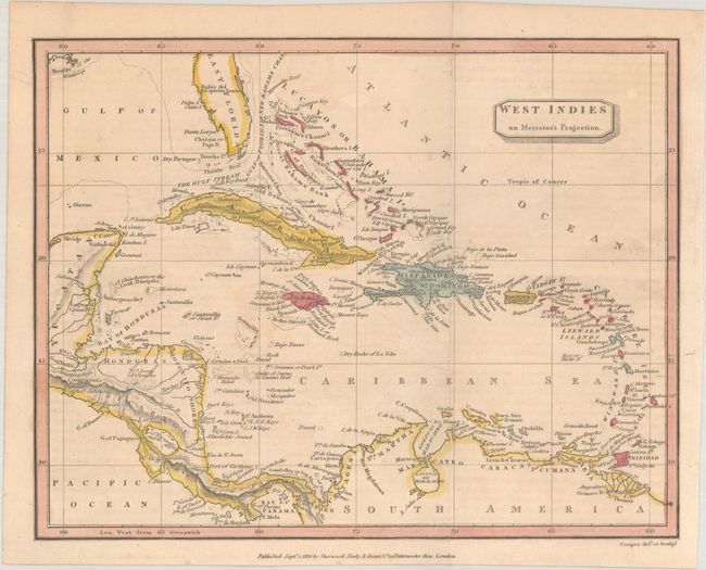
A. West Indies on Mercator's Projection, by Sherwood, Neely & Jones, dated 1820 (9.6 x 7.4"). An attractive little map of the West Indies extending from East Florida south to northern South America and from Central America east to the Lesser Antilles. Notes The Gulf Stream between Cuba and the Florida Keys. Features excellent detail of the coastlines and offshore islands. Condition: Issued folding with a hint of offsetting from an opposing page of text. (B+)
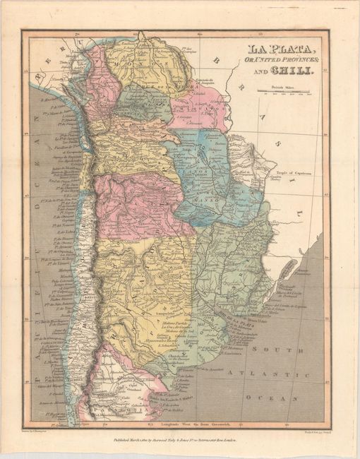
B. La Plata, or, United Provinces; and Chili, by Sherwood, Neely & Jones, dated 1822 (7.3 x 9.3"). A detailed map of southern South America extending from Chile east through Argentina, Paraguay and Uruguay. Shows excellent detail of rivers, mountains, and coastal place names. Condition: Issued folding on a clean sheet. (A)
C. South America, by Alex Macpherson, dated 1822 (7.5 x 9.6"). A charming small map of the continent with political delineations in hand coloring and a good representation of the topography and drainage systems. The Amazon River and its tributaries are particularly well developed. Condition: Issued folding with some light scattered foxing. (B+)
References:
Condition:
See description above.