Catalog Archive
Auction 193, Lot 178

"States of Delaware, Maryland, Virginia, (with the District of Columbia) North Carolina, Ohio, Kentucky, Tennessee, and Indiana", Rogers & Johnston

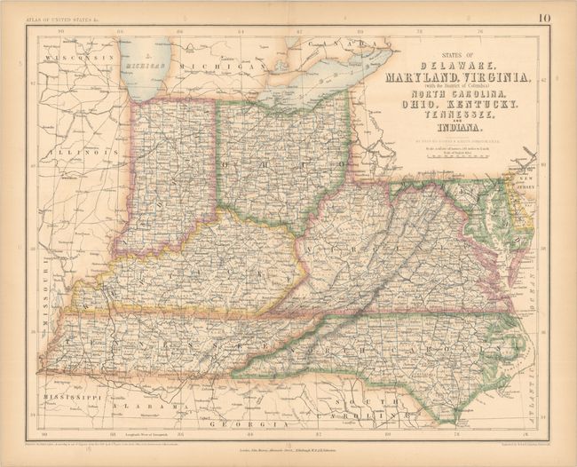
Subject: Mid-Atlantic United States & Ohio Valley

Period: 1857 (dated)

Publication: Atlas of the United States of North America...

Color: Hand Color

Size:
16.3 x 13 inches
41.4 x 33 cm
Download High Resolution Image
(or just click on image to launch the Zoom viewer)

This finely detailed map was published in one of the great 19th-century atlases in the lead-up to the Civil War. The map shows counties, towns and cities, railroads, and topographical information for each of the states listed in the title. It features a combination of hand and lithograph coloring. The rare and important Atlas of the United States of North America... was a collaboration between the British cartographer Alexander Keith Johnston and the American geographer Henry Darwin Rogers. Their combined efforts produced one of the finest groups of U.S. maps in the 19th century, most notably the outstanding maps of the western states and territories.

References:

Condition: B+

Contemporary color with faint color offsetting and minor toning along the sheet edges. Two old embossed stamps for the "Bath Public Reference Library" appear on verso.

Estimate: $160 - $190

Sold for: $120

Closed on 6/21/2023

Archived