Catalog Archive
Auction 193, Lot 108

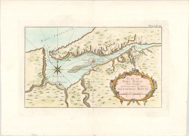
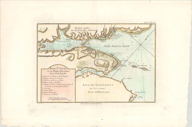
"[Lot of 2] Plan du Port Royal dans l'Acadie, Appelle Aujour d'par les Anglois Annapolis Royal [and] Baye Ste. Anne ou le Port Dauphin dans l'Isle Royale", Bellin, Jacques Nicolas

Subject: Nova Scotia, Canada

Period: 1764 (circa)

Publication: Le Petit Atlas Maritime

Color: Hand Color

Size:
13.3 x 7.9 inches
33.8 x 20.1 cm
Download High Resolution Image
(or just click on image to launch the Zoom viewer)

A. Plan du Port Royal dans l'Acadie, Appelle Aujour d'par les Anglois Annapolis Royal. This detailed map shows the important colonial settlement in Nova Scotia. It clearly depicts the harbor entrance with soundings, anchorages and navigational hazards. A large compass rose orients the map, and an ornate cartouche at bottom right contains the title.

B. Baye Ste. Anne ou le Port Dauphin dans l'Isle Royale. This map depicts St. Ann's Bay on the northern end of Cape Breton Island. Soundings, anchorages and shoals are located in the waters along with 9 important sites identified in a table below the title. Further decorated by rhumb lines with north oriented to the top right corner.

References: Kershaw #791 & #878.

Condition: A

Crisp impressions on mostly clean and bright sheets of watermarked paper.

Estimate: $250 - $325

Sold for: $325

Closed on 6/21/2023

Archived