Catalog Archive
Auction 192, Lot 526

"Pannoniae, et Illyrici Veteris Tabula", Cluver/Jansson

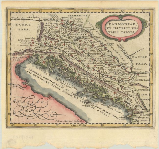
Subject: Western Balkans

Period: 1661 (published)

Publication: Introductionis in Universam Geographiam

Color: Hand Color

Size:
7.8 x 6.3 inches
19.8 x 16 cm
Download High Resolution Image
(or just click on image to launch the Zoom viewer)

Attractive historical map of the Dalmatian coast from Italy to Greece. The map is derived from Ortelius' map of the same title, which was based on Gastaldi's map of southeast Europe (1560) and other information from ancient sources. Decorated with an oval strapwork title cartouche. Engraved by Petrus Kaerius.

References: cf. Shirley (BL Atlases) T.CLUV-6a #25.

Condition: A

A sharp impression with light toning along the edges of the sheet.

Estimate: $110 - $140

Sold for: $80

Closed on 4/26/2023

Archived