Catalog Archive
Auction 192, Lot 520

"Transylvaniae, Moldaviae, Walachiae, Bulgariae Nova et Accurata Delineatio", Lotter, Tobias Conrad
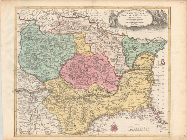
Subject: Romania

Period: 1770 (circa)

Publication:

Color: Hand Color

Size:
22.9 x 19.3 inches
58.2 x 49 cm
Download High Resolution Image
(or just click on image to launch the Zoom viewer)

This map focuses on Romania, but includes parts of Moldova and Bulgaria. The majority of the region falls between the Danube and Dniester Rivers, with the Black Sea along the eastern edge of the map. There is good detail of cities, with larger ones depicted as miniature fortified plans, rivers, mountains, battle sites, and more. Adorned with a decorative cartouche that features three men from the region with a drum, a wind instrument, and an ax.

References:

Condition: A

A nice impression with full contemporary color on a bright, watermarked sheet with a small dampstain at bottom right.

Estimate: $350 - $425

Sold for: $400

Closed on 4/26/2023

Archived