Catalog Archive
Auction 192, Lot 518

"Li Palatinati della Russia Rossa Podolia e Wolhynia Tratta dall' Atlante Polaco del Sigr. Rizzi Zanoni", Zatta, Antonio

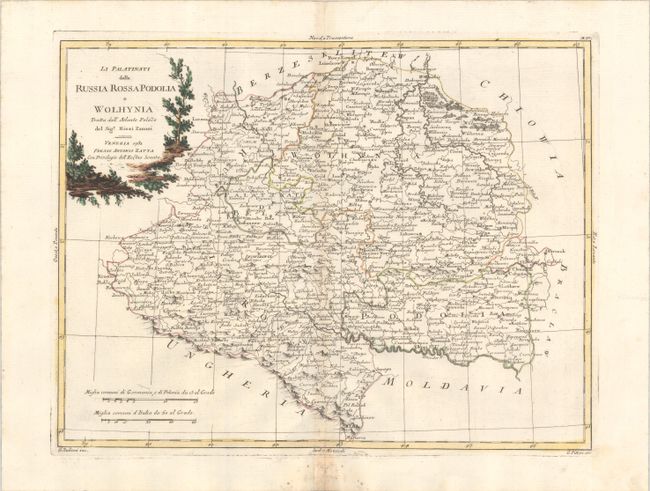
Subject: Western Ukraine & Moldova

Period: 1781 (dated)

Publication: Atlante Novissimo…

Color: Hand Color

Size:
16.3 x 12.4 inches
41.4 x 31.5 cm
Download High Resolution Image
(or just click on image to launch the Zoom viewer)

This densely engraved map focuses on the western portion of present-day Ukraine and part of Moldova. The Dniester River and the Carpathian Mountains run along the bottom of the map, extending north to the Sluch and Haryn Rivers. The map is filled with place names and gives good detail of political boundaries and the river systems in the region. Engraved by G. Zuliani with lettering by G. Pitteri.

References: Shirley (BL Atlases) T.ZAT-1a Vol. 2, #39.

Condition: B+

A crisp impression with contemporary color on a bright sheet with a coat of arms watermark. There is light toning along the centerfold and some mildew stains at bottom center.

Estimate: $120 - $160

Sold for: $90

Closed on 4/26/2023

Archived