Catalog Archive
Auction 192, Lot 459

"Carte Topographique des Environs & du Plan de Paris... / Karte von der Gegend und Grundris der Stadt Paris...", Homann Heirs

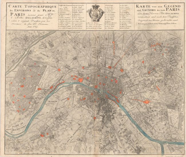
Subject: Paris, France

Period: 1739 (dated)

Publication:

Color: Hand Color

Size:
23.3 x 19.8 inches
59.2 x 50.3 cm
Download High Resolution Image
(or just click on image to launch the Zoom viewer)

This detailed plan of Paris also depicts its surrounding faubourgs and environs, and is based on an earlier map by Abbé Jean Delagrive. A numbered key names and locates 63 important locations. Major sites such as the Louvre Castle, Notre Dame, and Luxembourg Gardens are identified. This fully engraved and handsome chart is embellished with a large coat of arms of the city,. Title above map is in both French and German. An uncommon plan.

References:

Condition: B+

A nice impression with light soiling, a small rust spot at far right, a couple of small abrasions at far left, and a few small worm holes that have been professionally infilled with a minute amount of image replaced in facsimile.

Estimate: $700 - $850

Sold for: $500

Closed on 4/26/2023

Archived