Catalog Archive
Auction 192, Lot 363

"Paskaert van Brasilia van Pernambuco tot C. de S. Antonio", Doncker, Henrick

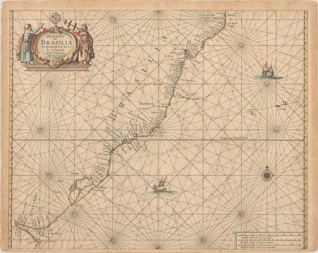
Subject: Southern Brazil

Period: 1665 (circa)

Publication: De Zee-Atlas ofte Water-Waerelt

Color: Hand Color

Size:
21.3 x 17 inches
54.1 x 43.2 cm
Download High Resolution Image
(or just click on image to launch the Zoom viewer)

This sea chart covers the coastline of Brazil between Olinda and the Rio de la Plata. Numerous place names of rivers, capes, points, and islands line the coast. The map is adorned with rhumb lines, a compass rose, two sailing ships, and a decorative title cartouche flanked by two explorers with navigation tools.

References:

Condition: B+

A crisp impression on a lightly toned sheet with faint foxing and an archivally repaired centerfold separation at bottom.

Estimate: $750 - $900

Unsold

Closed on 4/26/2023

Archived