Subject: Texas
Period: 1944 (dated)
Publication:
Color: Printed Color
Size:
19.1 x 18.6 inches
48.5 x 47.2 cm
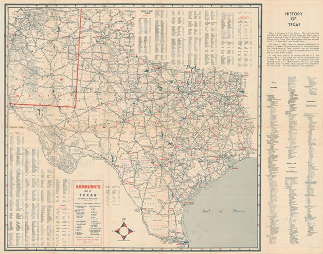
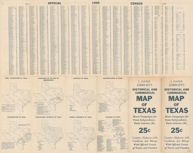
This scarce map of Texas was published by J. Foster Ashburn, and appears to be the only edition he produced for the state of Texas. The map is very detailed and features the road network, county seats, creeks, rivers, mountains, forests, parks, national monuments, mileages, and much more. Includes a "History of Texas" at right along with county indices at top and bottom. The verso contains data from the 1940 census and several small thematic maps of the state. Self-folding. We found only one past sales record and two institutional examples on OCLC.
References:
Condition: B+
Issued folding with faint color offsetting. There are several short fold separations with tiny loss at the fold junctions.