Catalog Archive
Auction 192, Lot 293

"A Diagram of Oregon", Chapman, W. W.
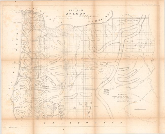
Subject: Oregon

Period: 1860 (dated)

Publication: Sen. Doc. 1, 36th Congress, 2nd Session

Color: Black & White

Size:
23.1 x 17.8 inches
58.7 x 45.2 cm
Download High Resolution Image
(or just click on image to launch the Zoom viewer)

This detailed map of the state presents topography, watersheds, and the progress of surveying. Eugene City, Oregon City, Port Orford, Roseburg, and many more are located. Trails and roads depicted include the Trail to Powder River, Wallen's Route, Mecks Trail, and the Northern Immigrant Road. Just across the Snake River is Fort Boisee. Published just one year after statehood.

References:

Condition: B

Issued folding with scattered foxing, light toning along the folds, and a couple of short splits at the fold junctions.

Estimate: $140 - $170

Sold for: $60

Closed on 4/26/2023

Archived