Subject: South Florida, Miami
Period: 1898 (circa)
Publication:
Color: Printed Color
This lot contains three early maps of South Florida from the Annual Report of the Secretary of the Interior:
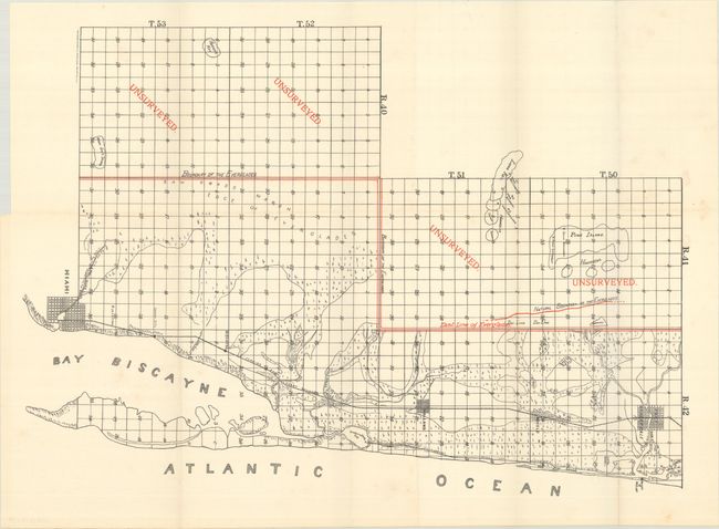
A. [Map of the Area Between Miami and Fort Lauderdale] (18.1 x 12.8"). Presents the area between Miami and Fort Lauderdale along the coast and the nearby Everglades with “unsurveyed” overlaying much of the Everglades. Early street grid patterns are shown for Miami, Fort Lauderdale, Modelo, and Holland with the Florida East Coast Railway connecting all four. The Florida East Coast Railway reached Miami in 1896 when the population of the settlement was only about 50.
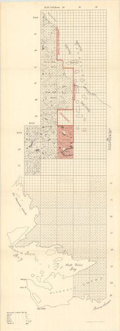
B. [Western Part of the Everglades] (8.0 x 24.0"). Depicts the western part of the Everglades near Ponce de Leon Bay and the Ten Thousand Islands. Everglades boundaries are shown in color.
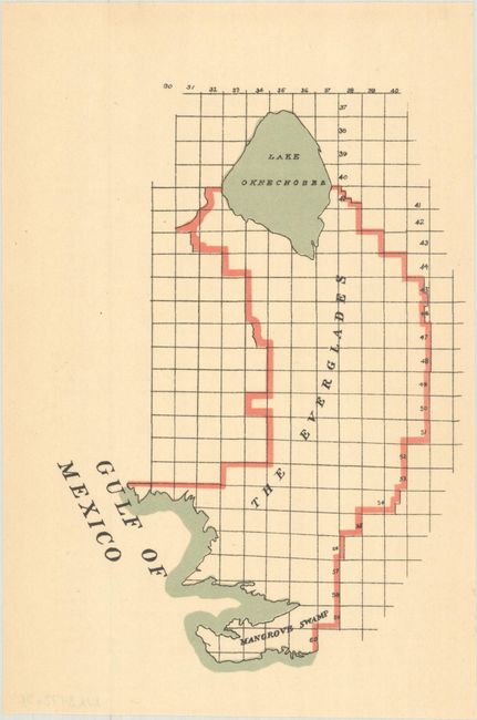
C. [The Everglades] (4.5 x 6.4"). A small map from the same report showing the entire boundaries of the Everglades in 1898.
References:
Condition: A
The two folding maps are mostly clean and bright with a few faint spots in the margins. The small map of the Everglades has a hint of toning.