Subject: Washington, D.C.
Period: 1959 (published)
Publication:
Color: Printed Color
Size:
27 x 27 inches
68.6 x 68.6 cm
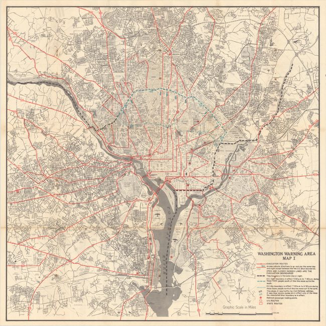
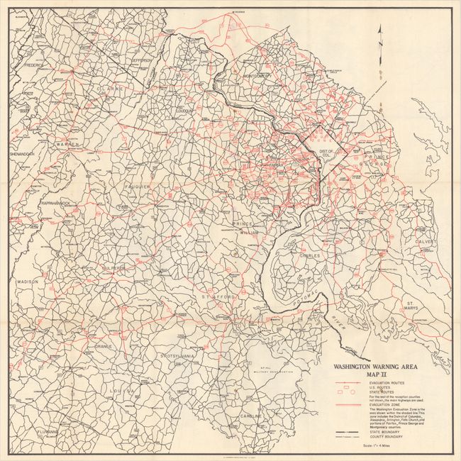
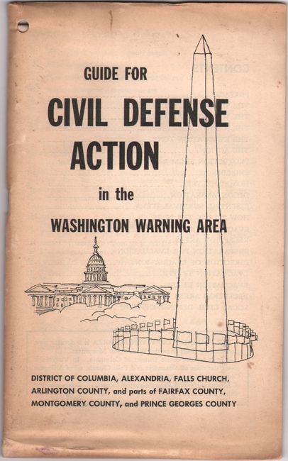
This sheet features two maps issued by the Office of Civil and Mobilization Defense. One side shows the immediate Washington D.C. area in fine detail, while the other side depicts the broader region extending from Frederick, Maryland to Central Virginia. The maps identify evacuation routes, railroad passenger loading points, boundaries, state and federal highways, and more. The sheet is laid into the accompanying 16-page brochure, which includes a section on how to use the map. The maps and brochure are fascinating artifacts of nuclear war preparation of the Cold War era which peaked with the Cuban missile crisis of 1962. Federal officials assumed that Washington would be a primary target for an attack and planned accordingly. Paper wrappers (5.5 x 9.0").
References:
Condition: B+
Issued folding on a clean sheet with small staple holes and rust spots along three vertical folds where it was previously bound. Brochure is lightly toned along the edges with minor soiling to the wrappers.