Catalog Archive
Auction 192, Lot 239

"Colorado", Gray, O. W.
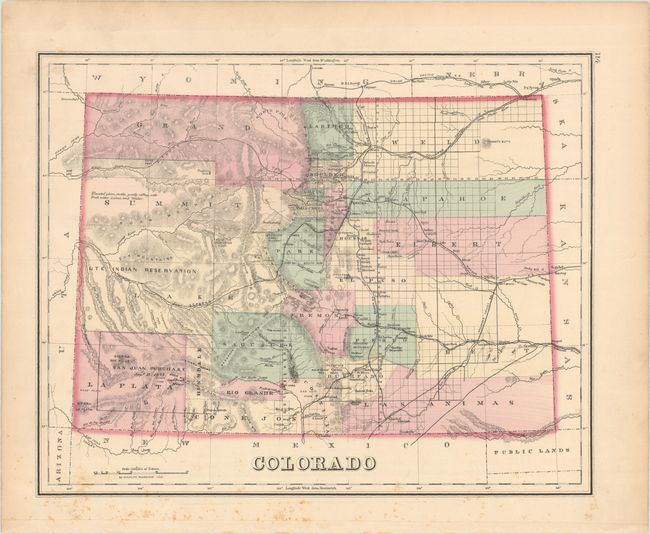
Subject: Colorado

Period: 1876 (circa)

Publication: Gray's Atlas of the United States...

Color: Hand Color

Size:
15 x 11.9 inches
38.1 x 30.2 cm
Download High Resolution Image
(or just click on image to launch the Zoom viewer)

This fine map shows the status of settlement and development right around the time Colorado became a state. It details railroads, cities, towns and mining communities, watershed, forts, and more. Features extensive topographical detail in hachure. This early edition names only 25 counties with the majority of the western portion mostly unsettled with a note describing the region as "elevated plain, fertile, gently rolling, with fresh water lakes, and timber."

References:

Condition: B+

There is minor foxing mostly in the bottom blank margin.

Estimate: $140 - $170

Sold for: $110

Closed on 4/26/2023

Archived