Catalog Archive
Auction 192, Lot 212

"Map of the Territories of Montana, Idaho and Wyoming", Warner, Higgins & Beers

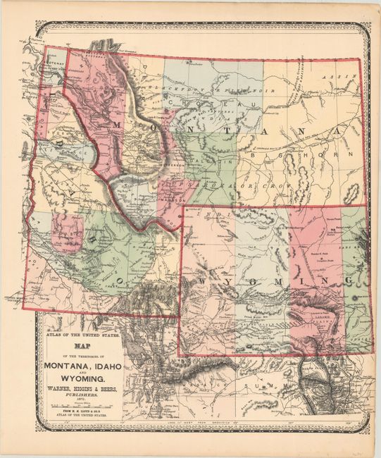
Subject: Northwestern United States

Period: 1871 (dated)

Publication: H.H. Lloyd & Co.'s Atlas of the United States

Color: Hand Color

Size:
14.9 x 16.4 inches
37.8 x 41.7 cm
Download High Resolution Image
(or just click on image to launch the Zoom viewer)

This map was issued one year prior to the creation of Yellowstone National Park and presents Wyoming with only four large counties. The southern portion of Idaho is sparsely settled with five counties while the eastern half of Montana is divided into four large counties. The Union Pacific Railroad is depicted across the southern part of Wyoming, and the proposed Northern Pacific Railroad is shown extending through Montana and Idaho. There is excellent detail of topography and the river systems, and numerous early mining communities are noted.

References:

Condition: A

Clean and bright with a hint of toning along the right sheet edge.

Estimate: $140 - $170

Sold for: $110

Closed on 4/26/2023

Archived