Catalog Archive
Auction 192, Lot 174

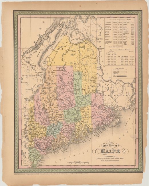
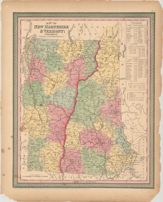
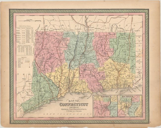
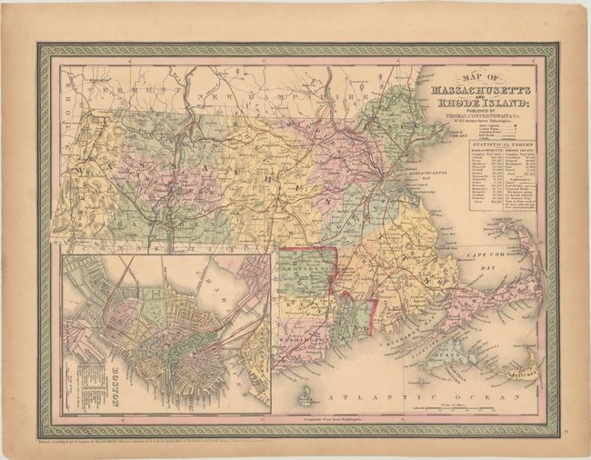
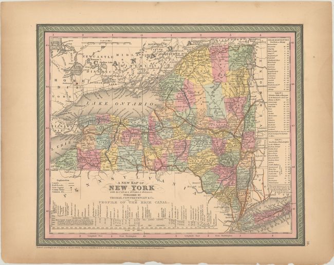
"[Lot of 5] A New Map of Maine [and] Map of New Hampshire & Vermont [and] Map of Connecticut [and] Map of Massachusetts and Rhode Island [and] A New Map of New York with Its Canals, Roads & Distances", Thomas, Cowperthwait & Co.

Subject: New England & New York

Period: 1850 (dated)

Publication: Mitchell's Universal Atlas

Color: Hand Color

Size:
See Description
Download High Resolution Image
(or just click on image to launch the Zoom viewer)

This lot of New England state maps (plus New York) all feature Mitchell's fine engraving style and decorative borders. Each is a well detailed map that shows numerous cities, towns and roads, railroads, etc. All but the New York map include statistical tables with population figures. Lot includes: A. A New Map of Maine, (12.1 x 15.1").
B. Map of New Hampshire & Vermont, (12.1 x 15.0").
C. Map of Connecticut, (15.0 x 12.4"). Includes insets of the vicinities of Hartford and New Haven.
D. Map of Massachusetts and Rhode Island, (15.3 x 11.6"). Includes a nice inset plan of Boston with a key identifying 20 sites of interest.
E. A New Map of New York with Its Canals, Roads & Distances, (13.9 x 11.6").

References:

Condition: B+

Contemporary color on toned sheets with light soiling and marginal chipping. On the Maine map, a small portion of the plate mark has chipped away at bottom right. There are light stains on the New Hampshire/Vermont map.

Estimate: $150 - $180

Sold for: $110

Closed on 4/26/2023

Archived