Subject: Atlases
Period: 1863 (circa)
Publication:
Color: Hand Color
Size:
13.7 x 18.6 inches
34.8 x 47.2 cm
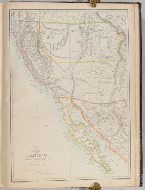
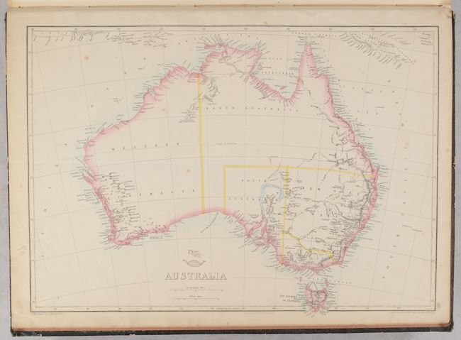
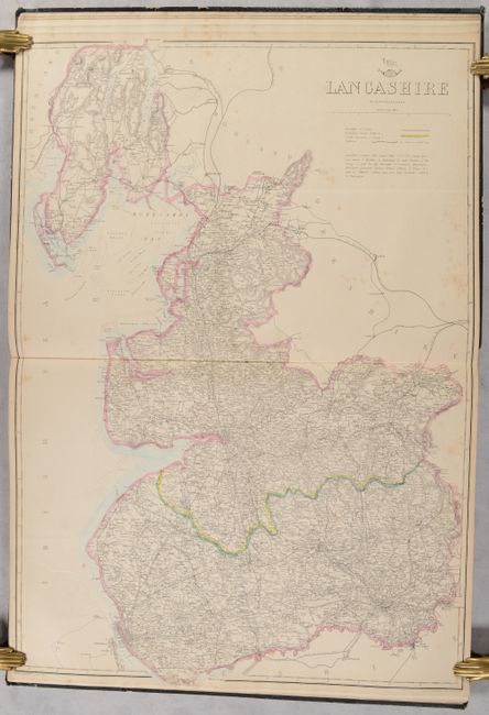
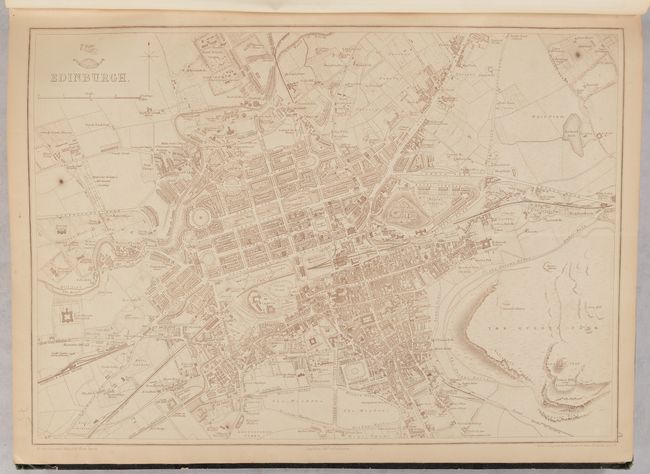
This is a composite atlas of maps from the Weekly Dispatch Atlas, which was published in monthly segments for subscribers of the Weekly Dispatch newspaper. The monthly editions eventually grew to include maps covering most of the known world. Published in various editions from 1855 through the early 1880s, each map has the Dispatch Atlas seal above the title or in the margin. Many of the maps were drawn and engraved by Edward Weller and Theodor Ettling. This example includes 102 map sheets, most of which are full page (3 are double-page), and some of which could be joined to form multi-sheet maps. The maps consist of 39 related to the United Kingdom, 26 to other regions in Europe, 21 of Asia, 3 of Africa, 3 of Australia, 7 of the United States and Canada, and 3 of Central and South America. No title page or list of maps has been included in this example. Hardbound in quarter green cloth with tips over black pebbled cloth covers.
References:
Condition:
The maps have contemporary outline hand color, with the exception of the city plans that are printed in sepia and the three maps of the southern coast of China that are in printed color. The maps are mostly in very good (B+) condition with light toning and soiling and occasional foxing, but some are in good (B) condition with more significant soiling or foxing. One of the maps of the southern coast of China is disbound. A previous owner has numbered each of the map sheets in ink and pencil, and sheet 71 is either missing or the sheets were misnumbered. The covers are worn with bumped corners and small chips and abrasions. The covers are beginning to detach and the spine torn and mostly detached.