Catalog Archive
Auction 191, Lot 598

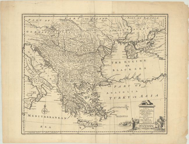
"A New & Accurate Map of Turky in Europe, with the Adjacent Counties of Hungary, Little Tartary &c...", Bowen, Emanuel

Subject: Balkans

Period: 1747 (published)

Publication: A Complete System of Geography

Color: Black & White

Size:
16.7 x 13.8 inches
42.4 x 35.1 cm
Download High Resolution Image
(or just click on image to launch the Zoom viewer)

Detailed copper engraved map of the Balkans, extending from Italy and Sicily to the Black Sea and the Sea of Azov. Includes all of the Greek Islands to Crete. Names Bosnia, Serbia, Macedonia, Transylvania, Hungary, etc. The map is adorned with a small ompass rose and a monument-style cartouche. This is the first state with "No. 28" at the bottom left.

References: McCorkle (18th C. Geography Books) #17-1 (Vol II); cf. Shirley (BL Atlases) T.BOW-2a #31.

Condition: B+

A dark impression, issued folding with light soiling and archival repairs to a few separations and small holes.

Estimate: $120 - $150

Sold for: $90

Closed on 2/8/2023

Archived